Fajã da Caldeira do Santo Cristo

São Jorge

GR02 SJO Great Route of São Jorge 02

Trail Info

The GR02 SJO Great Route of São Jorge 02 covers approximately half of the Island, in a linear route that connects the Ponta dos Rosais (the western point of the island) to Fajã dos Cubres (on the north coast). It has an extension of approximately 52 km. On the Fajã dos Cubres, there is a possibility of connection with the GR01 SJO Great Route of São Jorge 01, that transverse the other half of the island, ending at Topo (the eastern point of the island).

GR01 SJO Great Route of São Jorge 01 (Stage 1 Closed)

Trail Info

The GR01 SJO Great Route of São Jorge 01 covers approximately half of the Island, in a linear route that connects the parish of Topo, in the Eastern part of the Island, with the Fajã dos Cubres, on the North coast. It has an extension of approximately 40 km.

This trail alternates from the plateau of the inner part of the island, where the volcanic cones that generated the Island were born, with the high, steep cliffs that come to an end in small flat areas at the sea level, the famous landscapes of the Fajãs of São Jorge.

Norte Pequeno

Trail Information
Category - Circular
Difficulty - Medium
Extension - 10.8 km
Time average - 3h00m
Trail Info

This circular route, on the North coast of the island, allow us to visit the Fajãs do Mero, Penedia and Pontas.

This trail begins in the outskirts of the Parish Council of Norte Pequeno and from here continues inside the village towards the sea. Following the marks, you will find a dirt road on your left, where you should follow. In this road accessing agricultural fields, there are Azorean Heather (Erica azorica) and also an area of water collection for local consumption.

São Jorge

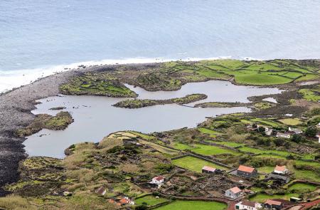
Location and Climate

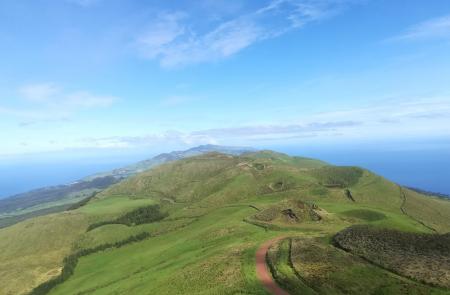
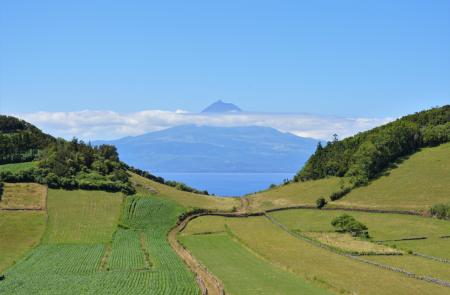
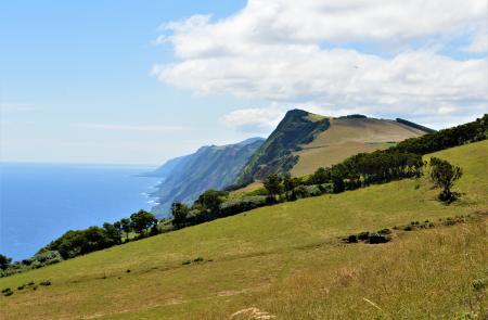
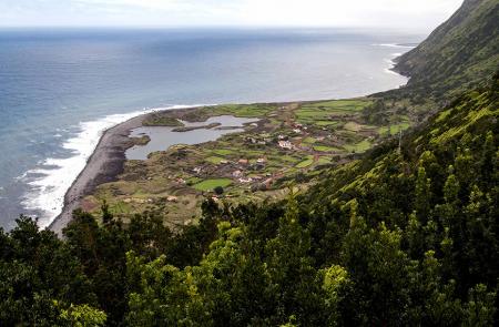
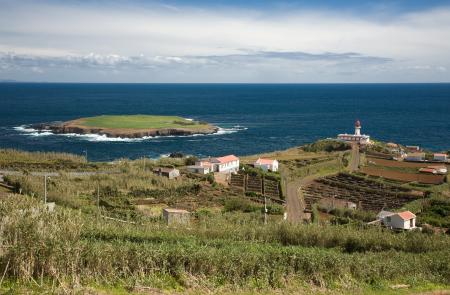
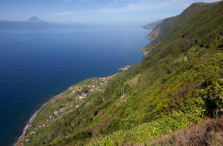
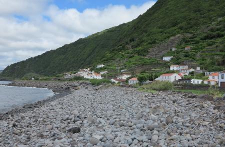
San Jorge, 40 Km south of Graciosa, 20 km north of Pico, 60 km west of Terceira and 30 km east of Faial is central located in the archipelago.

It is 56 Km long and 6 to 8 Km wide, with a total area of 246 km2.

It's located at 28º 33' W and 38º 24' N.

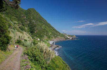
The climate, as on the other islands is moderate, with average annual temperatures of 12º C (53º F) in the winter and 25º C (77º F) at summer.

English

Fajã dos Vimes - Fragueira - Portal

Trail Information
Category - Linear
Difficulty - Medium
Extension - 3.1 km
Time average - 1h 30m
Trail Info

This linear route begins in Fajã dos Vimes, pass by Fajã da Fragueira and ends in Portal, with a length of 3,1 km along the South coast of the island.

Along the trail the marks change between the white, red and yellow from the intersection of Grand and Small Route and the yellow and red of the Small Route. The crossings are properly marked on site, with signaling arrows.

Fajã de Além

Trail Information
Category - Circular
Difficulty - Hard
Extension - 4.7 km
Time average - 3h00
Trail Info

This circular route with about 5 km length on the North coast of the island, allow us to visit the small and remote Fajã de Além.

Begin the trail near the Chapel of Santo António through a dirt road, arriving to a fork follow left and go down towards fajã.

In this descending it is also possible to have beautiful views over Fajãs de Além, Ouvidor, Ribeira da Areia and in days with good visibility, the islands of Terceira and Graciosa.

Pico do Pedro – Pico da Esperança – Fajã do Ouvidor

Trail Information
Category - Linear
Difficulty - Medium
Extension - 16.9 km
Time average - 4h00
Trail Info

This linear route, along the mountain range, covers the central area of the island between Pico do Pedro, passing by Pico da Esperança, highest point of the island with 1053 meters and ends in Fajã do Ouvidor in the North coast. The path develops partially through the central volcanic range, between 800 and 1000 meters high, being advisable to do so in days of good weather and visibility.

Fajã de São João - Lourais - Fajã dos Vimes

Trail Information
Category - Linear
Difficulty - Hard
Extension - 9.7 km
Time average - 3h30m
Trail Info

This linear route runs across the South coast of the island between Fajã de São João, passing by Lourais, Fajã dos Bodes and ends in Fajã dos Vimes. After heavy raining days, avoid the trail between Lourais and Fajã dos Vimes due to the difficult crossing of the streams.

The trail begins near the local cafe, from here it is possible to admire the narrow streets of traditional pavement and the small houses. Pass by the church and follow towards Northwest to Lourais.

Pages

Subscribe to RSS - São Jorge