


Caminhos de Santa Luzia - Pico PR01 PIC


Trail Info
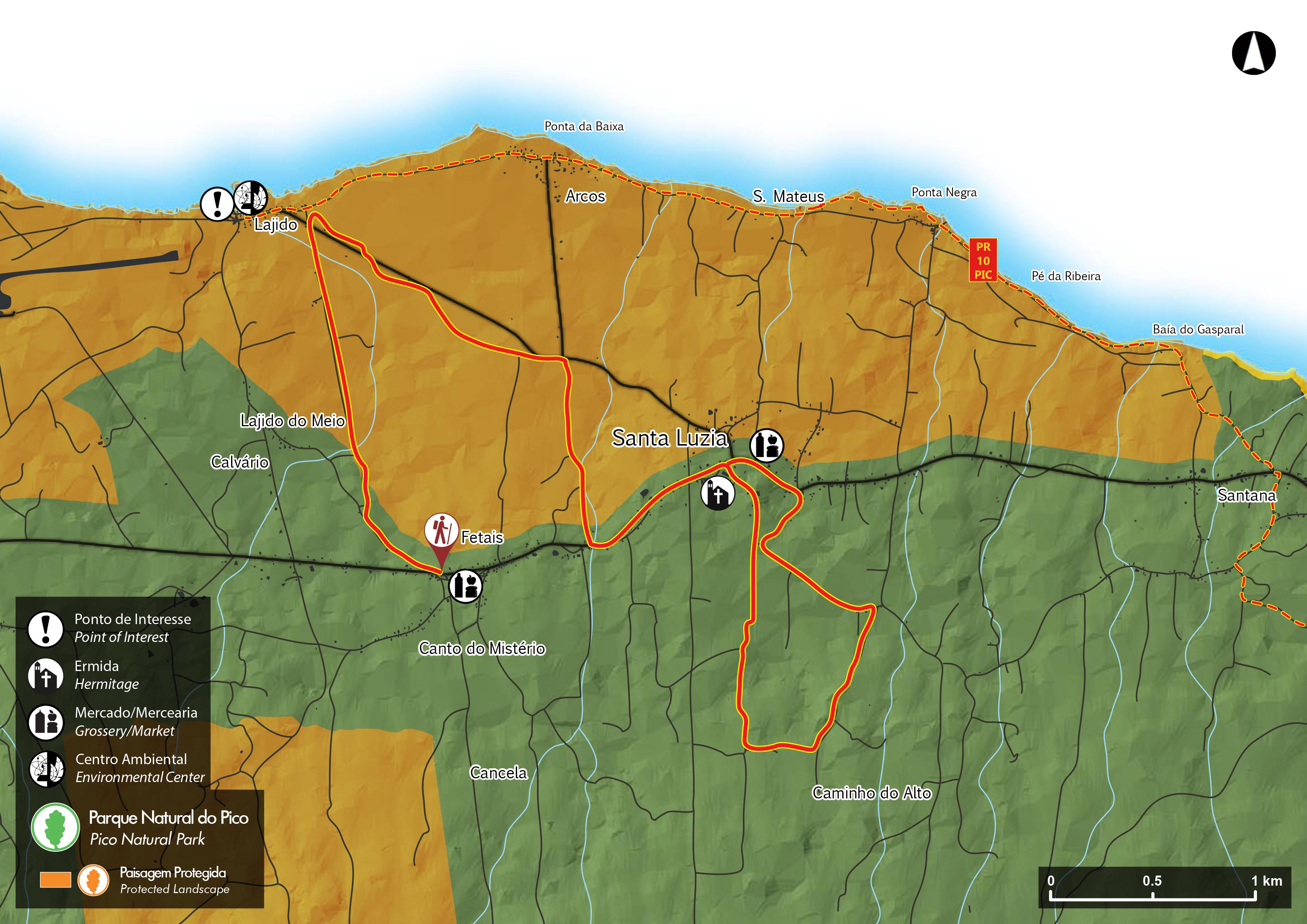
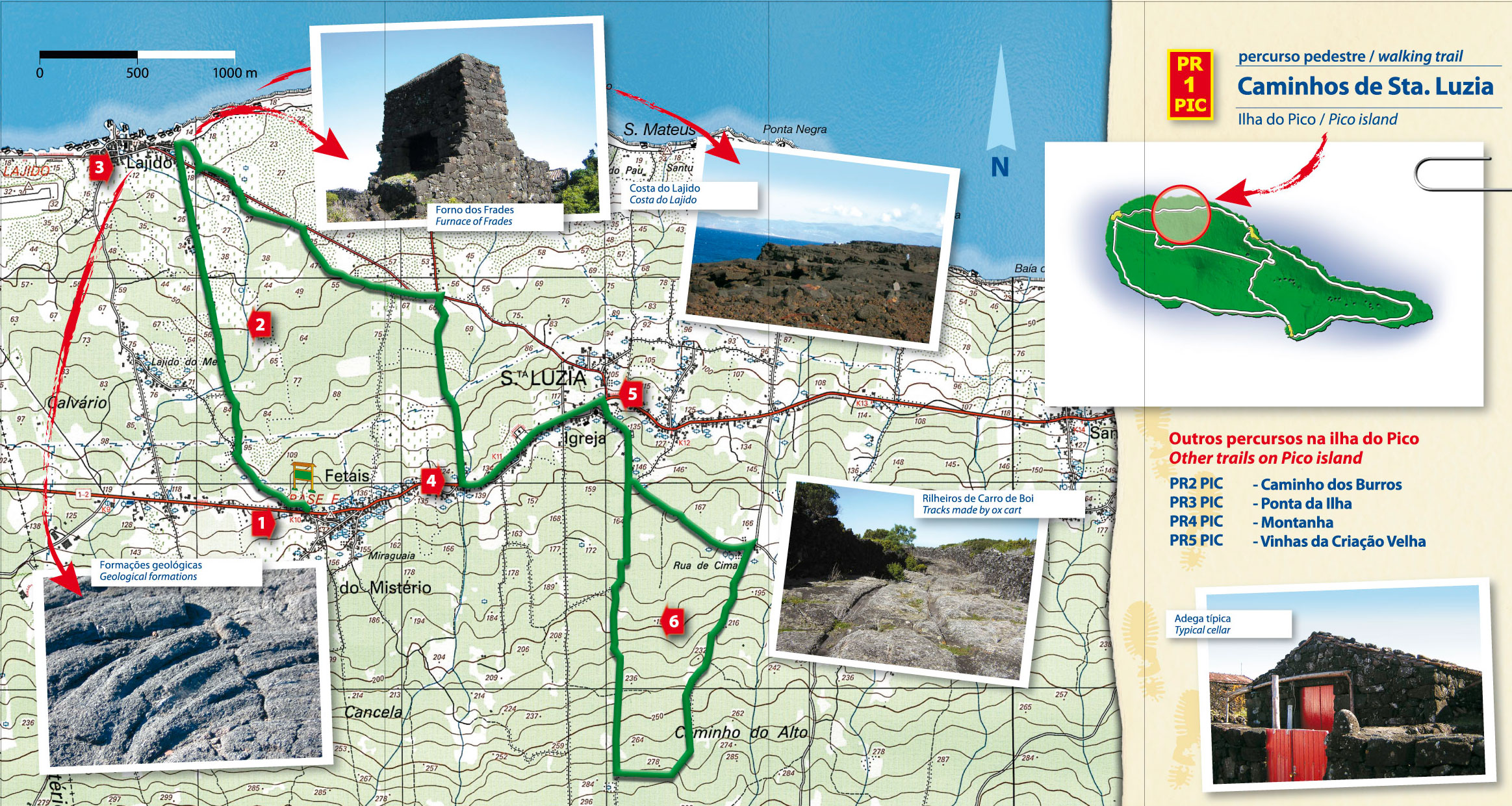
This trail begins at Miraguaia (Santa Luzia), ends at the Church of Santa Luzia and takes around 3h.
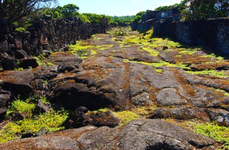
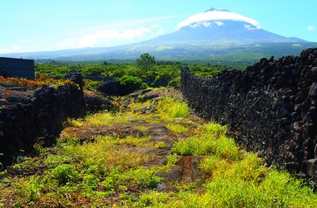
It begins on a descent to the sea on a path through a landscape of vineyards, part of UNESCO World Heritage, and goes as far as Lajido. On the way you will see many signs of track marks left in the lava by the ox carts that used to carry wine.
In Lajido a visit to the museum is worthwhile and there are some interesting geological formations to be seen in the area.
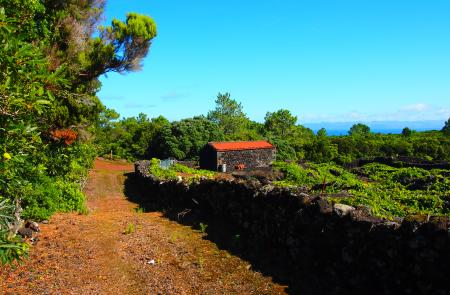
The path then begins to climb and goes through Forno dos Frades, another interesting place worth seeing. About 3km after beginning the climb you will come to the main regional road, which the trail then follows, on your left, for about 500 m, until you reach the church of Santa Luzia.
At the church turn right, as signposted, and the trail will continue on beaten earth between woods of wood white (Picconia azorica), heather (Erica azorica) and incense (Pittosporum undulatum), among other plant species.
As you can see from the map, this second part of the route is circular and ends at the Church of Santa Luzia, which you passed earlier.
The trail goes through a Protected Landscape Area.
Walkers are asked not to pick fruit on any part of the trail.
Copyright - Gerbrand Michielsen


