


Serra do Topo - Caldeira do Santo Cristo – Fajã dos Cubres - São Jorge PR01 SJO


Trail Info
ALERT: Due to interrupted access to Fajã dos Cubres, the hiking trail will temporarily follow a linear route. Once you finish the walk, you must return along the same path.
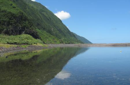
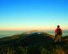
This route about 10 km length begins in the Eolic Park of Serra do Topo, passing by Caldeira de Santo Cristo and finishing at Fajã dos Cubres.
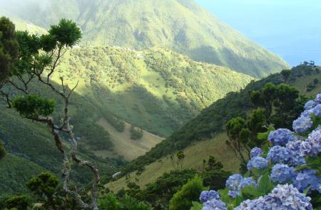
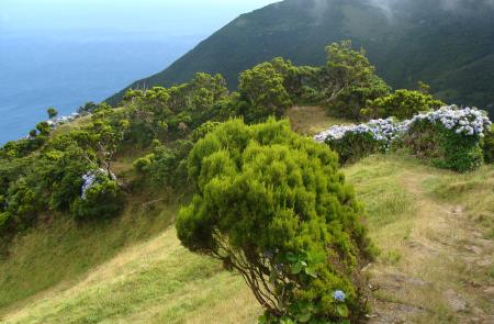
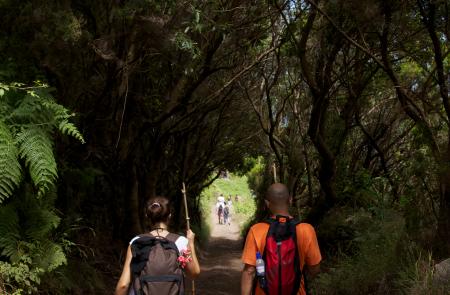
Start your walk in the regional road, next to the Eolic Park of Serra do Topo, through a land road, where you can find several species of endemic flora such as Azorean Heather (Erica azorica), Azores Juniper (Juniperus brevifolia), and the Azorean Holly (Ilex azorica). It is also possible to see and hear some birds like the Whimbrel (Numenius phaeopus), Goldcrest (Regulus regulus azoricus), and the Buzzard (Buteo buteo rothschildi).
Follow the marks passing by a shelter, time when the trail begins its descending stage towards Caldeira de Cima. Cross the bridge Tia Júlia proceeding carefully (slippery ground) by a detour on the right to the Cascata Pequena.
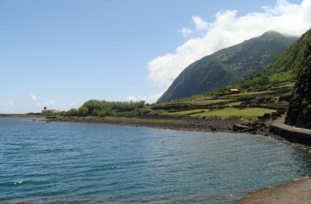
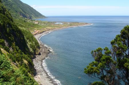
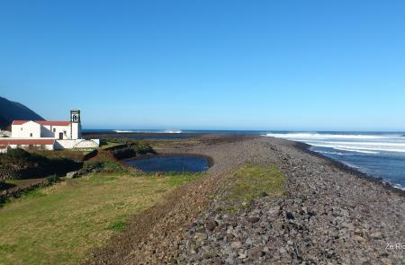
Along the trail, in its descending stage, you will go through some standpipes and a place from where it is possible to see the Caldeira de Santo Cristo. Proceed until Fajã, passing by the Senhor Santo Cristo Sanctuary and by the Environmental Interpretive Centre. Here, you can visit the Caldeira de Santo Cristo Lake, classified as Protected Landscape and place of cultural and scenic interest. Known mainly by the presence of clams, the lake is an important place for birds of long term residence, as well as some migrant species. With the increase of the touristic activity in the area, the fajã was discovered by the water sports community and classified as a surf and bodyboard sanctuary.
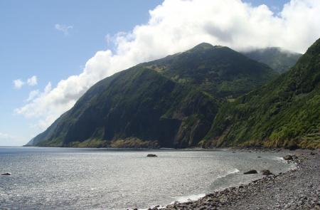
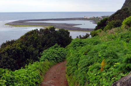
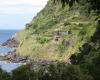
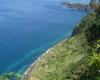
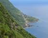
The route follows the Northwest sense, along the coast, passing by Fajã do Belo, place that remained inhabited until the 1980 earthquake. Along the way there are some wire ropes, used to carry the wood to the inhabited areas. From this point it is already possible to see the Fajã dos Cubres, place where the trail ends, near the church of Nossa Senhora de Lourdes. At this place it is possible to connect with other points of the island through GR 02 SJO (West side), or GR 01 SJO (East side).
Outline
Trail Information


