


Lomba d’El-Rei - São Miguel PRC38SMI
Trail Info
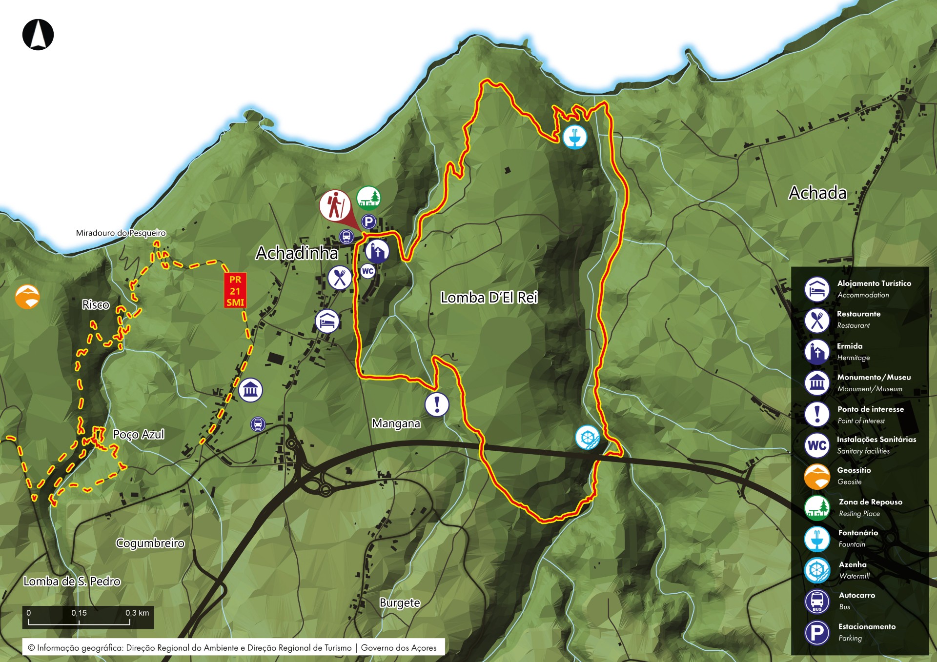
This walk begins near the church N. Sra. Do Rosário, situated in the middle of the village. Go round the left side and, about 300m, turn left by a land road, than turn right and go up the Hill of Moio de Baixo.
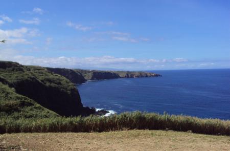
During this stretch the predominant vegetation is Canas (Arundo Donax) but it is also possible to find some other species of natural vegetation from the Azores as the Beechwood (Morella Faya) and Heather (Erica Azorica). Reaching one of the highest points of this walk, it's possible to see, west the village of Fenais da Ajuda and east the village of Achadinha.
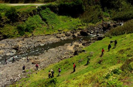
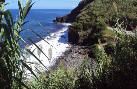
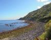
Follow this stretch, passing by cultivated lands, until you find a detour at your left side that goes down as far as the river mouth of the stream of Ribeira do Lenho. This part of the walk is done among vegetation as Incense (Pittospurum Undulatum) and Fern (Athyrium Filix Femina), next to the river mouth.
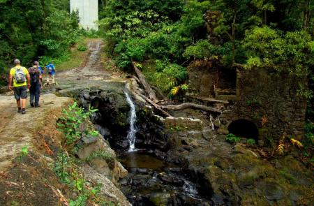
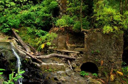
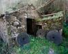
Cross the stream and continue on a pavement road, with the stream on your right side. After a slight climbing the walk continues right, place where you find the Ribeira do Lenho and Ribeira dos Caldeirões, where you can profit the ruins of watermill and stay near the base of one of the highest bridges of the Nordeste freeway.
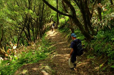
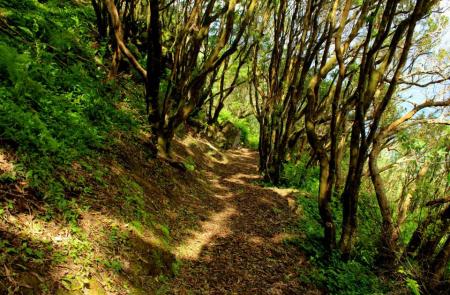
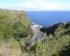
From here, the walk proceeds among a wood of Japanese cedars (Crytomeria Japonica) until you reach the top of the hill Lomba D'El Rei in each you should come across a pavement road that will go over the Nordeste freeway.
After passing the speedway, turn left on a shortcut that will take you to the old Fonte Velha and to the Water Tanks where, before, served the local inhabitants. Continue the walk on a land road that ends on the garden Eira Velha , now Rua Formosa, that goes down as far as the church, where this walk began.
Additional Information
- Postal code: 9630-048
- Location: Achadinha
- Address: Rua da canada
- Parish: Achadinha
- Municipality: Nordeste
- Coordinates: 37.855297, -25.281308
Outline
Trail Information


