


Pico da Vara - São Miguel PRC07SMI


Trail Info
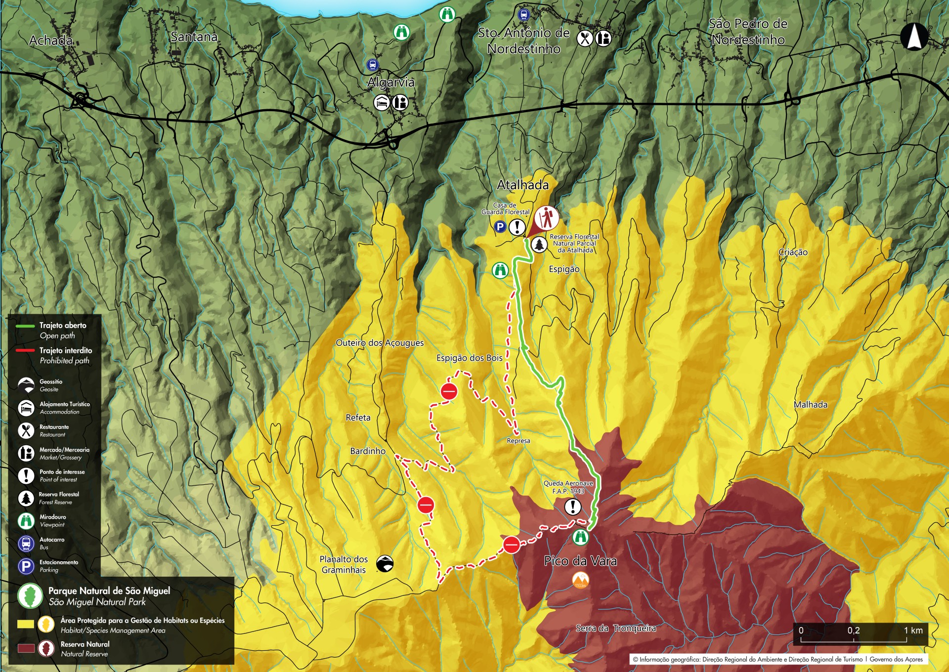
ALERT: Due to ongoing forestry, tree cutting and heavy machinery maneuvers are taking place. Therefore, we recommend paying extra attention to traffic on the first segment of the route.
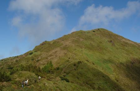
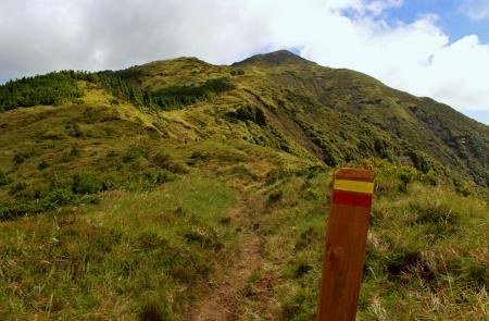
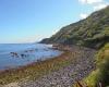
This trail goes along the protected area for the Management of Habitats and Species of Tronqueira e Planalto of Graminhais, the Nature Reserve of Pico da Vara and allows access to Pico da Vara, the highest point of the island, with 1103 meters high. It begins near the Forest Guard House of the Reserve of Atalhada, village of Santo António Nordestinho. The hiker should follow the marks passing by the wood of Atalhada until arriving the viewpoint with a view over the villages of Santo António Nordestinho and Algarvia.
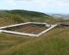
At the fork, you should take the road on the left hand side, flanked by japanese cedars (Crytomeria japonica), heading Pico da Vara. These roads were used in the past for accessing areas of coal production, cattle handling and commerce between the municipalities of Nordeste and Povoação.
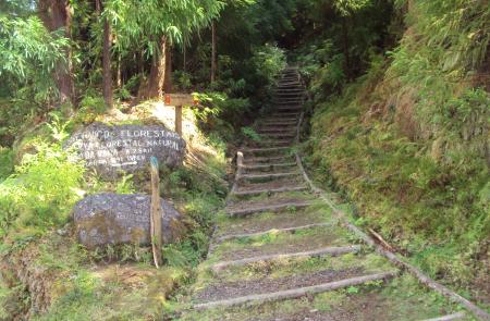
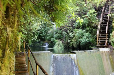
At the fork, choose going left, to reach the geodesic landmark of Pico da Vara, where it is possible to enjoy wide views over the crater of Povoação (to the south), Planalto dos Graminhais, the crater of Furnas Volcano and its lake (to the west) and the volcanic massifs of Fogo and Sete Cidades at the bottom. On the way back you should go down the trail and turn to the right hand side towards the Forest Guard House. It is possible, in these higher areas, to observe examples of endemic vegetation such as Azores juniper (Juniperus brevifolia), Azorean holly (Ilex azorica), Azorean heather (Erica azorica) and peat bogs formed by Sphagnum sp., fundamental for the water catchment. As you go down, the natural flora gives place to public woods of japanese cedars, whose management under responsability of Regional Directorate for Forest Resources is FSC® certified (License Code FSC® C119744). The trail ends ahead, near the Guard House, where it is possible to visit the endemic garden
Outline
Trail Information


