Pedra Furada da Serra da Ribeirinha - Terceira PRC11TER
Trail Info
This small circular route begins next to the Ribeirinha Ethnographic Center, which includes a cultural heritage linked to the customs and traditions of the parish and develops, mostly, along the Serra da Ribeirinha, which constitutes the southwestern slope of the Cinco Picos volcano, including the largest volcanic caldera in the Azores - Caldeira dos Cinco Picos.
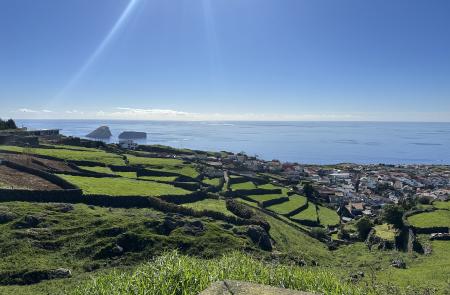
Walking along this hiking trail, you will come across the unique scattering of houses in Ribeirinha, which develops perpendicular to the coastline, along the waterline, an important resource with several linking structures, namely the fountains "A Fonte" and "Poça do Adão".
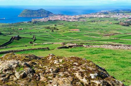
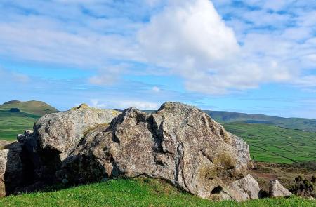
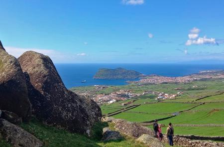
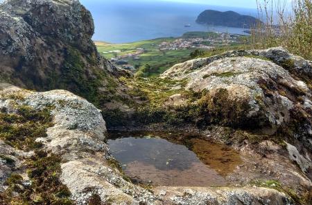
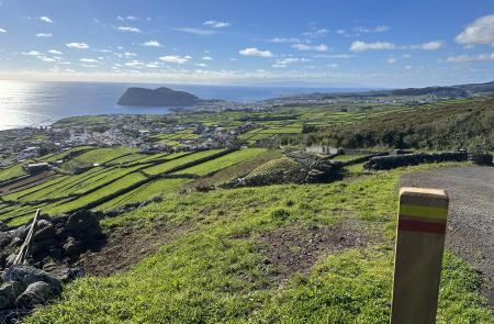
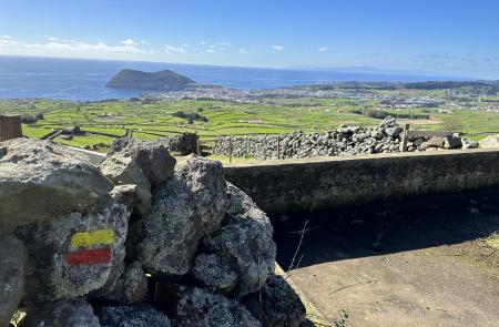
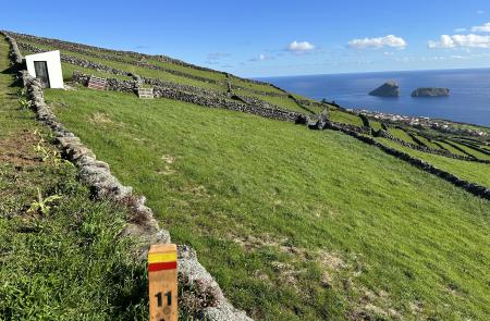
The landscape, mostly agricultural, presents privileged views over the bay of Angra do Heroísmo and the south coast, as well as 3 of the 4 main volcanic complexes of the island: Serra de Santa Bárbara, Guilherme Moniz and Cinco Picos. In addition, this hiking trail is marked by 7 different groups, identified on the trail map, which include rock units with specific landscape architecture, highlighting rocks with peculiar configurations and the so-called “Pias” and “cut marks”, with mysterious origin, inspiring different interpretations, from natural phenomena to human intervention.
Regarding other highlights, we emphasize the presence of an old lookout post from World War II, the architectural details of the houses in the centre of the parish and several viewpoints scattered along the trail.
Due to the numerous private properties, you must pay special attention to the presence of cattle and/or other domestic animals, as well as keeping all the gates closed along the trail.
