Algar do Carvão - Furnas do Enxofre - Terceira PRC10TER
Trail Info
This short circular route takes place in a public sector of a Protected Area for the Management of Habitats or Species of the Central Plateau and Northwest Coast, where several environmental and landscape recovery actions are occurring. It connects two Natural Monuments – Algar do Carvão and Furnas do Enxofre.
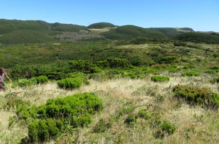
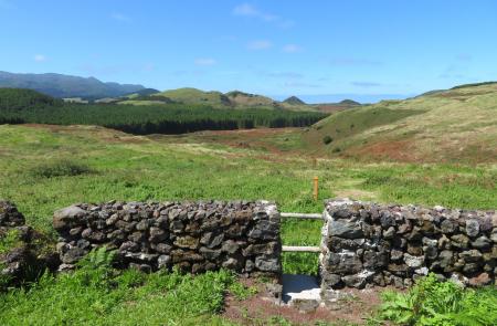
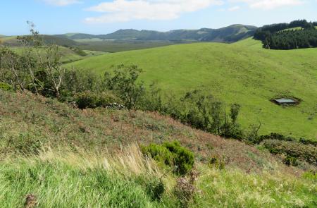
Start the route near the car park in Algar do Carvão, on the beginning of the lapilli path. Take the shortcut on the left leading to the longstanding forest exploration paths, alongside the hills covered with native forest. Climb up to the currently deactivated geothermal borehole and proceed along the unpaved path, crossing the plateau over a patch of Laurissilva forest, which includes panoramic views to Pico da Salsa, Pico Tamujo and the bogs of Sanguinhal.
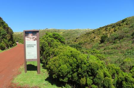
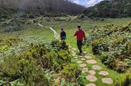
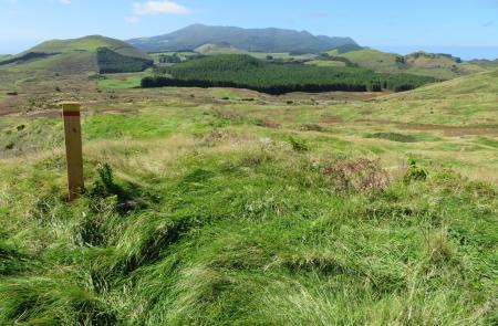
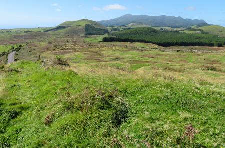
After spotting the Geothermal Power Station of Pico Alto, turn south heading through patches of autochthonous flora and meadows. Once in the tarmac road, take an optional detour to the left (600m) and visit the Furnas do Enxofre fumarole field. Return to the previous location before taking the detour and follow the visible footpath in the centre of the meadow. Climb up to the hill top, where it is possible to appreciate the panoramic views to Pico do Alpanaque and Caldeira do Guilherme Moniz. On days with good visibility, it is possible to spot the volcanic Serra de Santa Bárbara massif and the islands of São Jorge and Pico on the horizon as well.
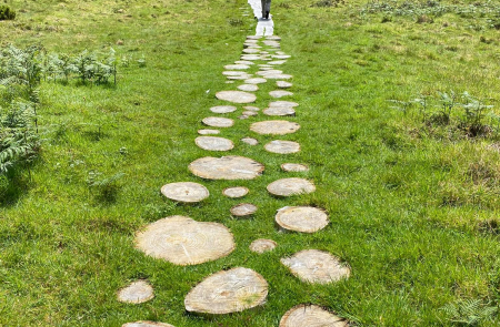
Walk down through the native vegetation, skirting Pico do Sanguinhal and turn left after reaching the road, leading straight to the car park of Algar do Carvão. The wooden structures of this trail were made using local wood, gathered from the removal services of exotic trees (eucalyptus) on behalf of the environmental and landscape restoration of this area.
