Subida ao Cume - Graciosa PRC05GRA closed trail
Trail Info
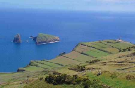
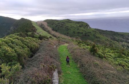
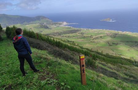
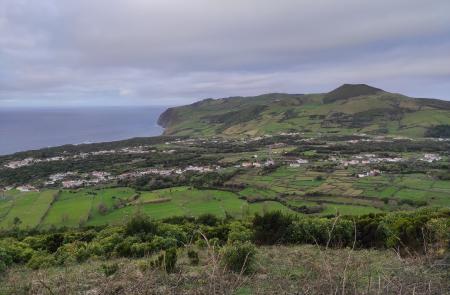
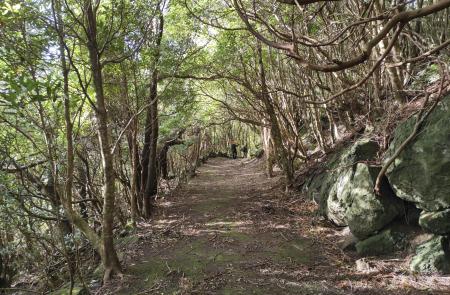
This small circular route is mainly integrated into the Natural Monument of Caldeira da Graciosa, place with the largest forest patch on the island. The trail begins at the centre of the parish Luz, in front of Nossa Senhora da Luz Church and ascends through Canada do Beco up to the ridge of Graciosa’s Caldeira, a depression of volcanic origin that is located at the top of the smallest stratovolcano of the Azores. The trail surrounds the Caldeira’s ridge, with a passage by the islands’ highest point, at an altitude of 405m, where you can enjoy wide views over the landscape of the island and, if the weather allows, over the remaining islands of the central group.
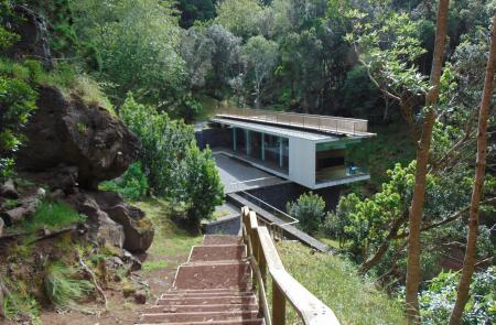
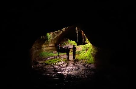
Inside the volcanic caldera, there are several samples that constitute the volcanic richness of this trail, such as two small hydromagmatic cones and, and on the undergound, the caves of Furna da Maria Encantada, Furna do Abel and the iconic cave Furna do Enxofre with its Visitor Center, the access to a unique volcanic cavity with a length of 194m and an altitude of 40m, with a sweet water lake and a mud fumarole in its interior.
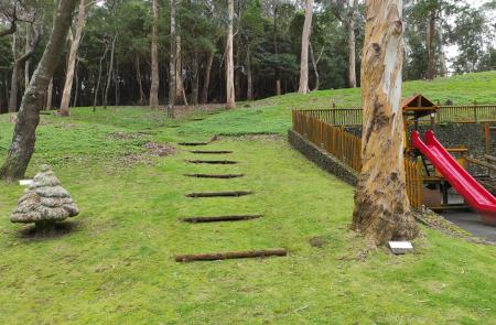
In spite of the predominance for exotic flora species, standing out the Japanese cedar forests that cover the interior slopes of the Caldeira and that constitute the largest forest area of the island, it is possible to observe some samples of the Azores native flora, very unusual on the island, such as the green heather (Erica azorica), the laurel (Laurus azorica), the candleberry myrtle (Morella faya).
Another interesting aspect of this trail is the rare presence of wading birds, such as the common snipe (Gallinago gallinago) and the Euroasian woodcock (Scolopax rusticola) in the interior of the Caldeira, which has the status of Wetland of International Importance (Ramsar site).
As the trail runs mainly on a protected Natural Monument area, that holds Ramsar site statutes, a Core Zone of the Biosphere Reserve and a geosite of Caldeira and Furna do Enxofre (Azores Geopark), we all have the responsibility to ensure the safeguard of its biodiversity, with the utmost care and respect for it during the walk.
