


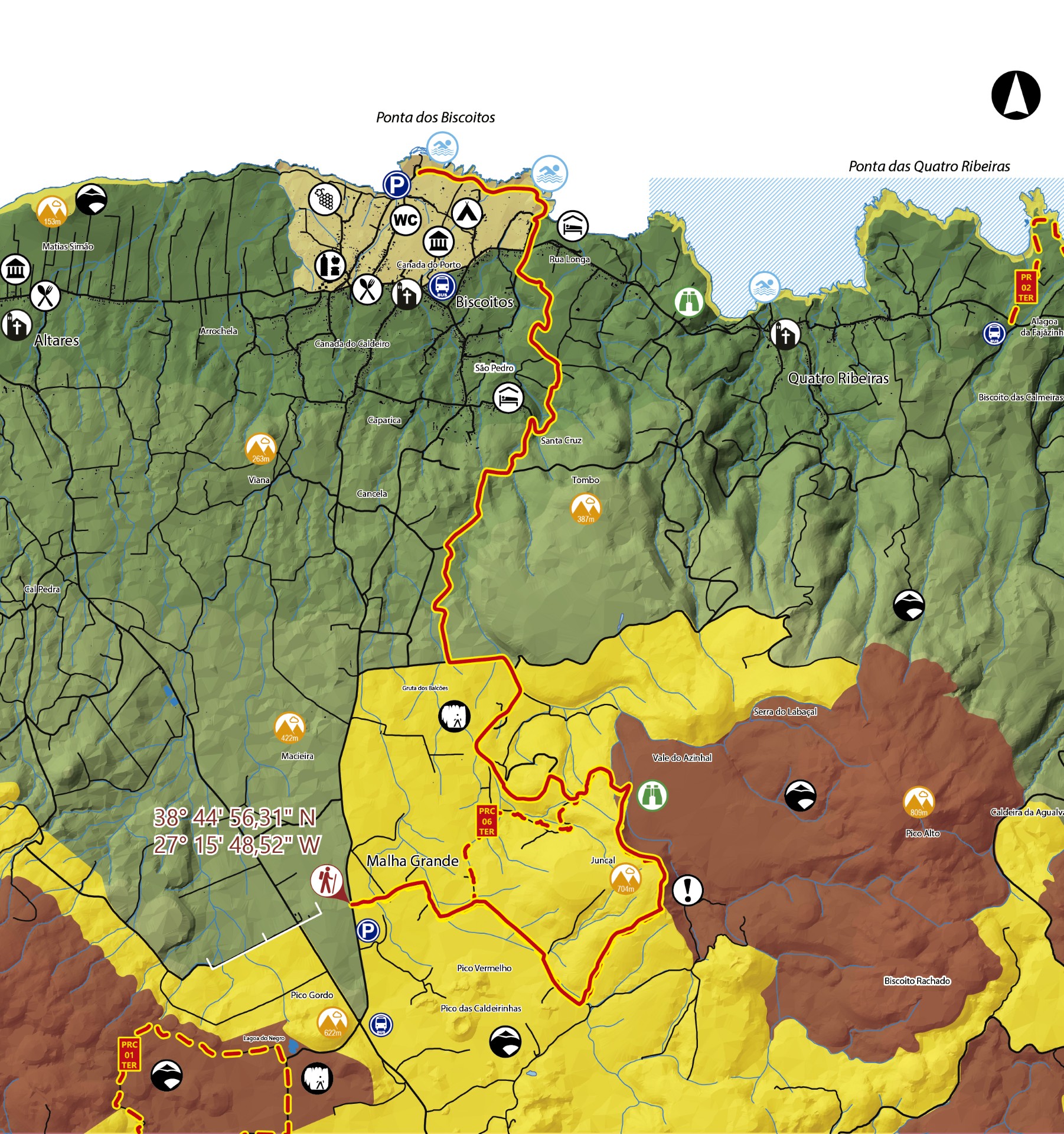
Malha Grande - Biscoitos - Terceira PR09TER
Trail Info
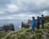
This small linear route connects Rocha do Chambre, located in the inner part of the island, to the popular swimming area of Biscoitos, during 14,2 km.
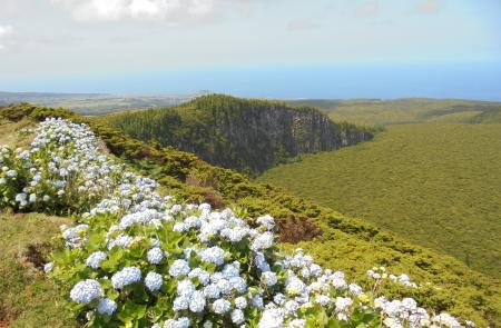
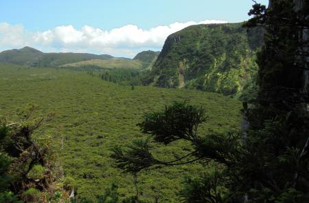
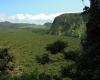
Start the hike on the dirt track and turn right on the first fork you encounter, through a path flanked by endemic vegetation (Erica Azorica). Follow this path until you find a tentadero and turn left, heading up the farming road along the pastures. Keep going up until you reach the Rocha do Chambre viewpoint, where you are able to see the caldera of the Pico Alto volcano. Up ahead, the geodesic landmark indicates the highest point of this trail (704 m), where you can contemplate the Protected Area of Biscoito da Ferraria and Pico Alto, rich in endemic vegetation species that fill the caldera.
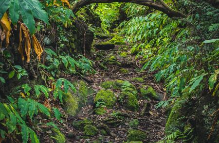
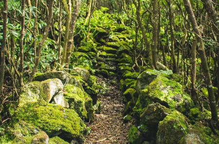
Head down towards the valley (Vale do Azinhal), then follow the forest trail by the pastures that skirts the Gruta dos Balcões. This lava tube is the result of the last terrestrial eruption on the island, dating to 1761 and which had its origin in Pico Vermelho, Pico do Fogo and Pico das Caldeirinhas.
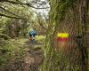
Keep heading down the secondary forest paths, between the pastures revealing considerable rocky outcrops, which result from the aforementioned lava eruption, as you enjoy the view to the northern coastline. Keep going until you find a shortcut that leads to a wood of incense (Pittosporum undulatum). From this point onwards, the hike will alternate between wood areas, lapilli roads and old orchards until you reach the street (Rua Longa).
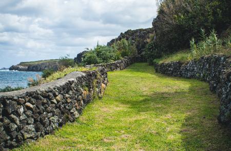
Turn right, carefully cross the regional road and head down towards the small bay (Baía das Pombas), where you find the first swimming place of this area. Here you are also able to see the military trenches used in World War II, one of many existing structures built to strengthen the coastal defense system, such as the forts. Continue along the street (Avenida do Mar), alongside the Protected Landscape Area of Vinhas dos Biscoitos, where you can observe several volcanic stone (basalt) patch areas used for wine production.
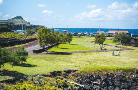
The hike ends at the popular natural swimming pools of Biscoitos.
Perfil
Información


