Canadas da Ribeirinha - Pico PR18PIC
Trail Info
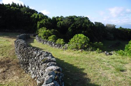
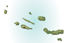
This route going through Northeast of Pico, connects Terra Alta to Calhau.
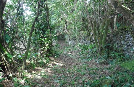
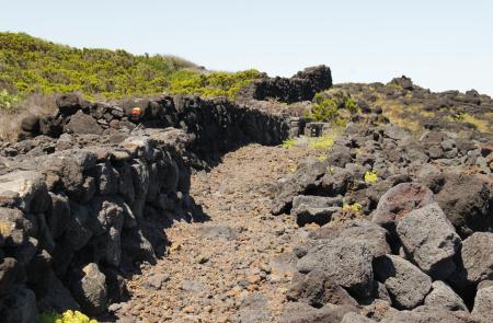
Begin the trail near the main road (ER 1), on a land alley, Caminho da Atalhada, where it is possible to see relheiras (ancient marks done by the ox carts) printed on the ground.
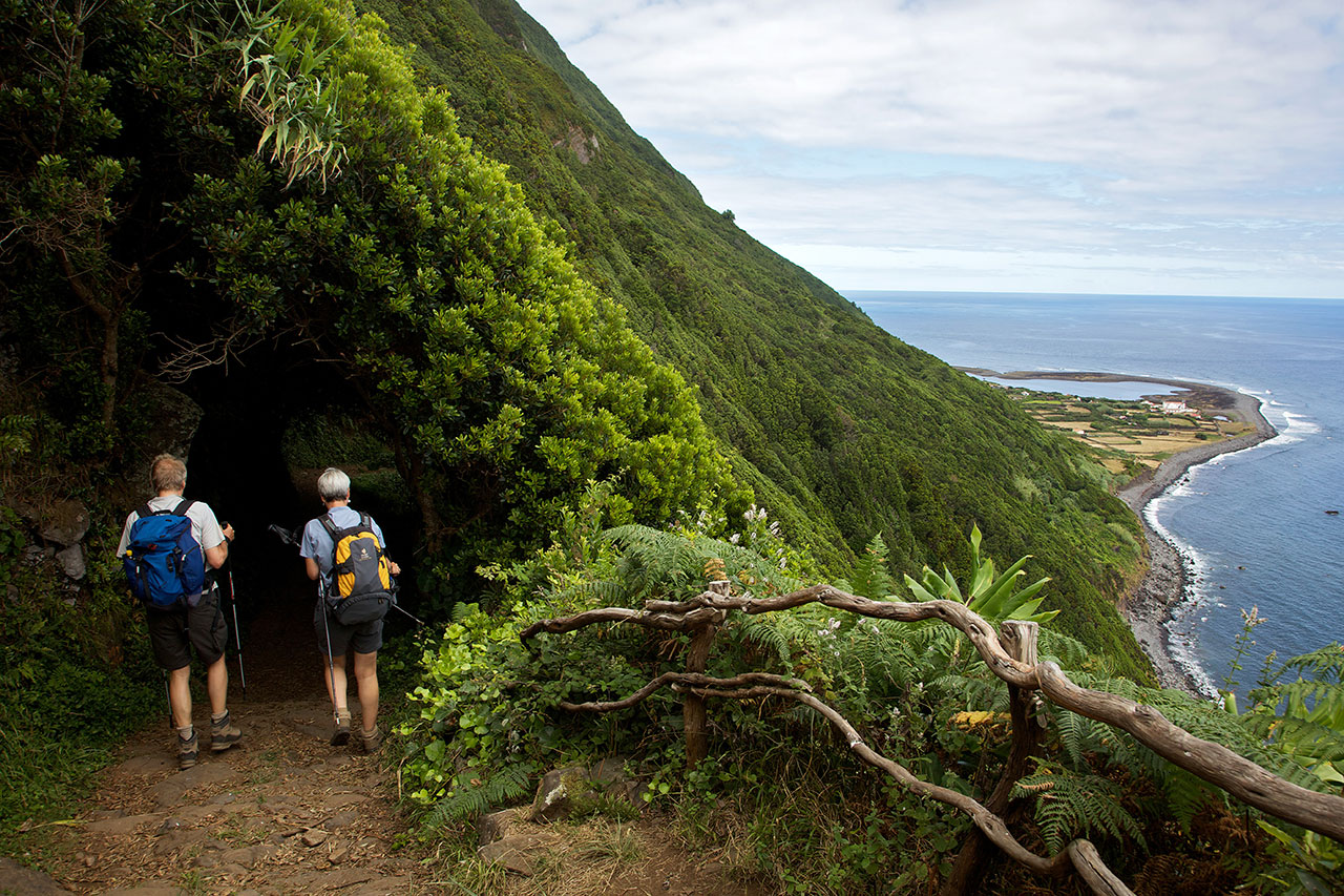
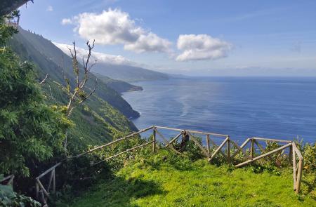
Go down among Australian Cheesewood (Pittosporum undulatum), Fayatree (Morella faya), Azores Laurel (Laurus azorica) and Azorean Holly (Ilex azorica), cross the road and continue until you arrive to the tarmac road again. At this point there is a detour on your left to the viewpoint of Alto dos Cedros, with a view over São Jorge.
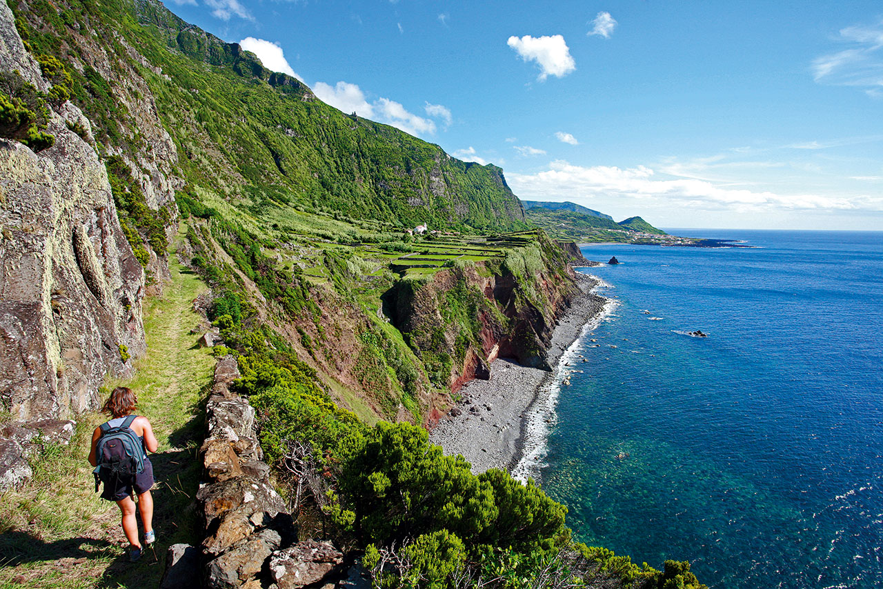
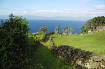
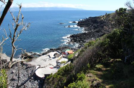
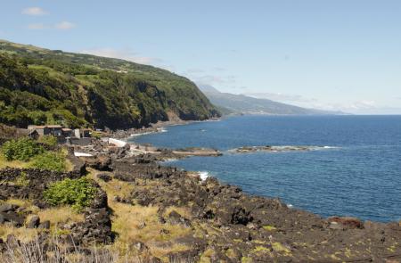
Return to the main road, pass by a fountain and turn left passing by the area of Rocha Alta. Reaching the road again, cross Ribeirinha and at the end of the village go down, on your left, by Canada do Mar, towards Baixa harbor, place where you can profit to rest, dive in the ocean and visit the typical wine cellars and vineyards - World Heritage by UNESCO.
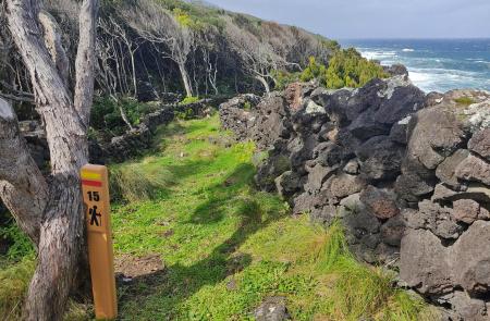
Proceed near the coast, following the marks that will lead you back to the main road, among Azorean Heather (Erica azorica). Leave the road again turning left towards Ponta das Trombetas and to the area of Calhau, place where the trail ends,near the recreation harbor. Here, there are connections with other points of the island, through the PR 03 PIC Porto Calhau/Manhenha/Ponta da Ilha.
