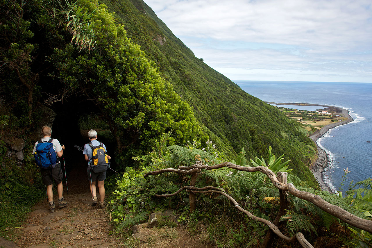
Fajã da Caldeira do Santo Cristo

Terceira

Pedra Furada da Serra da Ribeirinha

Trail Information
Category - Circular
Difficulty - Medium
Extension - 6.6 km
Time average - 2h30
Trail Info

This small circular route begins next to the Ribeirinha Ethnographic Center, which includes a cultural heritage linked to the customs and traditions of the parish and develops, mostly, along the Serra da Ribeirinha, which constitutes the southwestern slope of the Cinco Picos volcano, including the largest volcanic caldera in the Azores - Caldeira dos Cinco Picos.

Algar do Carvão - Furnas do Enxofre

Trail Information
Category - Circular
Difficulty - Medium
Extension - 6.2 km
Time average - 2h30
Trail Info

This short circular route takes place in a public sector of a Protected Area for the Management of Habitats or Species of the Central Plateau and Northwest Coast, where several environmental and landscape recovery actions are occurring. It connects two Natural Monuments – Algar do Carvão and Furnas do Enxofre.

Malha Grande - Biscoitos

Trail Information
Category - Linear
Difficulty - Medium
Extension - 14.2 km
Time average - 3h30
Trail Info

This small linear route connects Rocha do Chambre, located in the inner part of the island, to the popular swimming area of Biscoitos, during 14,2 km.

West Great Route

Trail Info

The GR01 TER West Great Route covers the west part of the island, in a linear route that connects the Forest Reserve and Recreation Park of Lagoa das Patas to the Forest Reserve and Recreation Park of Mata da Serreta. It has an extension of approximately 31,2 km.

This trail prompts hikers to get acquainted with its rich and vast natural, scenic, social, and cultural heritage. Throughout this route it is possible to observe a wide range of landscapes, natural communities and ecosystems, such as recreational areas, coastal cliffs, semi-natural forests and mountain areas.
Passagem das Bestas

Trail Information
Category - Circular
Difficulty - Medium
Extension - 4 km
Time average - 2h30
Trail Info

This small circular route is totally established at the geosite and protected area for resources management of Caldeira de Guilherme Moniz, known for its macaronesia woods and peatlands that assure the recharge of the aquifers in this volcanic complex, with around 23 thousand years.

Fortes de São Sebastião

Trail Information
Category - Linear
Difficulty - Easy
Extension - 5.7 km
Time average - 2h30
Trail Info

Located in the volcanic massif of Cinco Picos, this small route travels along the Southeast coast of the island, passing by remains of ancient maritime defensive forts (16th - 17th century) and ending in the village of São Sebastião.

Begin the trail on the main road towards Ponta das Contendas. Go around on your right with a view over the lighthouse of Contendas and the islet - Ilhéu das Cabras - at the bottom. Go down the path to the Forte da Greta and Santa Catarina das Mós (both from 1581) and enjoy the view over the bay (Baía da Mina), ideal place for surfing. 

Rocha do Chambre

Trail Information
Category - Circular
Difficulty - Medium
Extension - 8.8 km
Time average - 2h30
Trail Info

This small circular route takes place in the interior of Terceira island along 8,8 km. This trail reaches an altitude of 700 meters, being advisable to do it in days of good weather and visibility. Along the walk, whenever necessary crossing a gate, leave it closed.

Pages

Subscribe to RSS - Terceira