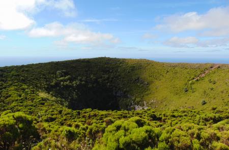
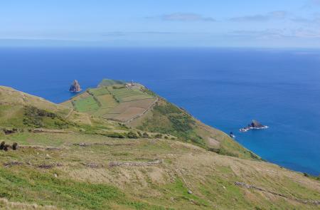
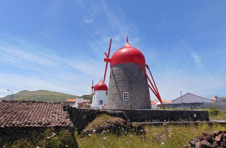
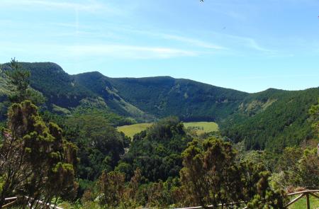
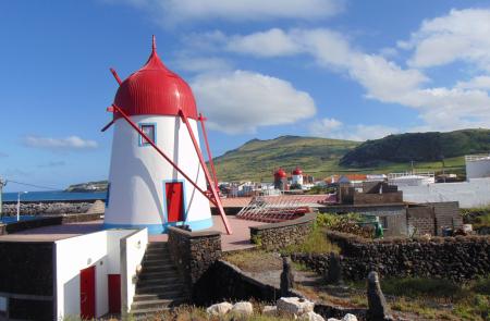
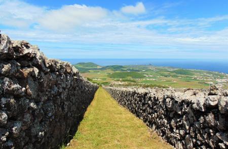
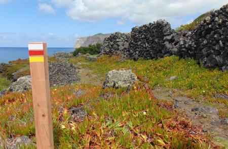
Fajã da Caldeira do Santo Cristo

Graciosa

Subida ao Cume

Trail Information
Category - Circular
Difficulty - Hard
Extension - 9.7 km
Time average - 3h30
Trail Info

This small circular route is mainly integrated into the Natural Monument of Caldeira da Graciosa, place with the largest forest patch on the island. The trail begins at the centre of the parish Luz, in front of Nossa Senhora da Luz Church and ascends through Canada do Beco up to the ridge of Graciosa’s Caldeira, a depression of volcanic origin that is located at the top of the smallest stratovolcano of the Azores.

Das Vinhas ao Mar

Trail Information
Category - Linear
Difficulty - Medium
Extension - 6.6 km
Time average - 2h30
Trail Info

This small linear route, located in the parish of Santa Cruz da Graciosa, connects the wine-growing landscape of Bom Jesus and Achada to the bathing area of ​​Barro Vermelho, partially crossing the Protected Area for the Management of Habitats or Species of Ponta da Barca.

Great Route of Graciosa

Trail Info

The Great Route of Graciosa covers much of the island through a circular trail that alternates between coastal landscapes, especially several islets, and the inland volcanic landscapes over a total length of approximately 40 km.

Graciosa

Location and Climate

Graciosa, part of the central group, has a surface of 60.66 km2, 12.5 km long and 7 km wide.

Its longitude is 28º 05' W and latitude 39º 05 N.

The climate is moderate and the less humid of the archipelago.

English

Baia da Folga

Trail Information
Category - Linear
Difficulty - Easy
Extension - 2.1 km
Time average - 1h
Trail Info

This route begins in the centre of the village of Luz, near the local Holy Spirit chapel in the south of the island.

Start by going down the regional road for 600m and turn right at the dirt path. Follow the marks which will lead you along this path and through vineyards until you get close to the coast.

Follow the coastal path by some seaside goldenrods (Solidago sempervirens), African tamarisks (Tamarix africana) and endemic fescue (Festuca petraea) until you reach Portinho da Folga.


Serra Branca - Praia

Trail Information
Category - Linear
Difficulty - Easy
Extension - 8.7 km
Time average - 2h30m
Trail Info

This route goes through the island, sense West/East, beginning in the area of Serra Branca, an ensemble of volcanic structures made mainly by thick sediments of white trachytes that gives its name.

Begin the trail in Pico da Caldeirinha, near the Eolic Park and profit the high altitude to enjoy the view over the island.

Graciosa

NATURE

The White Island

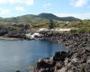
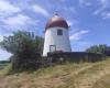
Classified by UNESCO as a Biosphere Reserve, the island of Graciosa is the second smallest of the archipelago and is also the one with the least imposing terrain, with several flat areas and smooth hills. Pedras Brancas (White Stones), Serra Branca (White Hills) or Barro Branco (White Clay) are localities on the island whose name is related to the presence of a volcanic rock, the trachyte, which is common on the island and which, once rotten by the passing of time, gets a whitish colour which justifies the nickname of White Island.

GEOGRAPHY

The size of Graciosa, with 12.5 km in length and 7 km at its maximum width, provides the island with an elongated shape from the Northwest to Southeast. There are 4,391 habitants (2011 data) living on the island’s surface of 60.66 sq. It is the northernmost island from the five that make up the Central Group of the Azores Archipelago, with São Jorge, 37 km away, being the closest island. At an altitude of 405 metres, this island’s highest point is located in Caldeira at 39°01’17’’ latitude north and 27°57’59’’ longitude west.

Subscribe to RSS - Graciosa