


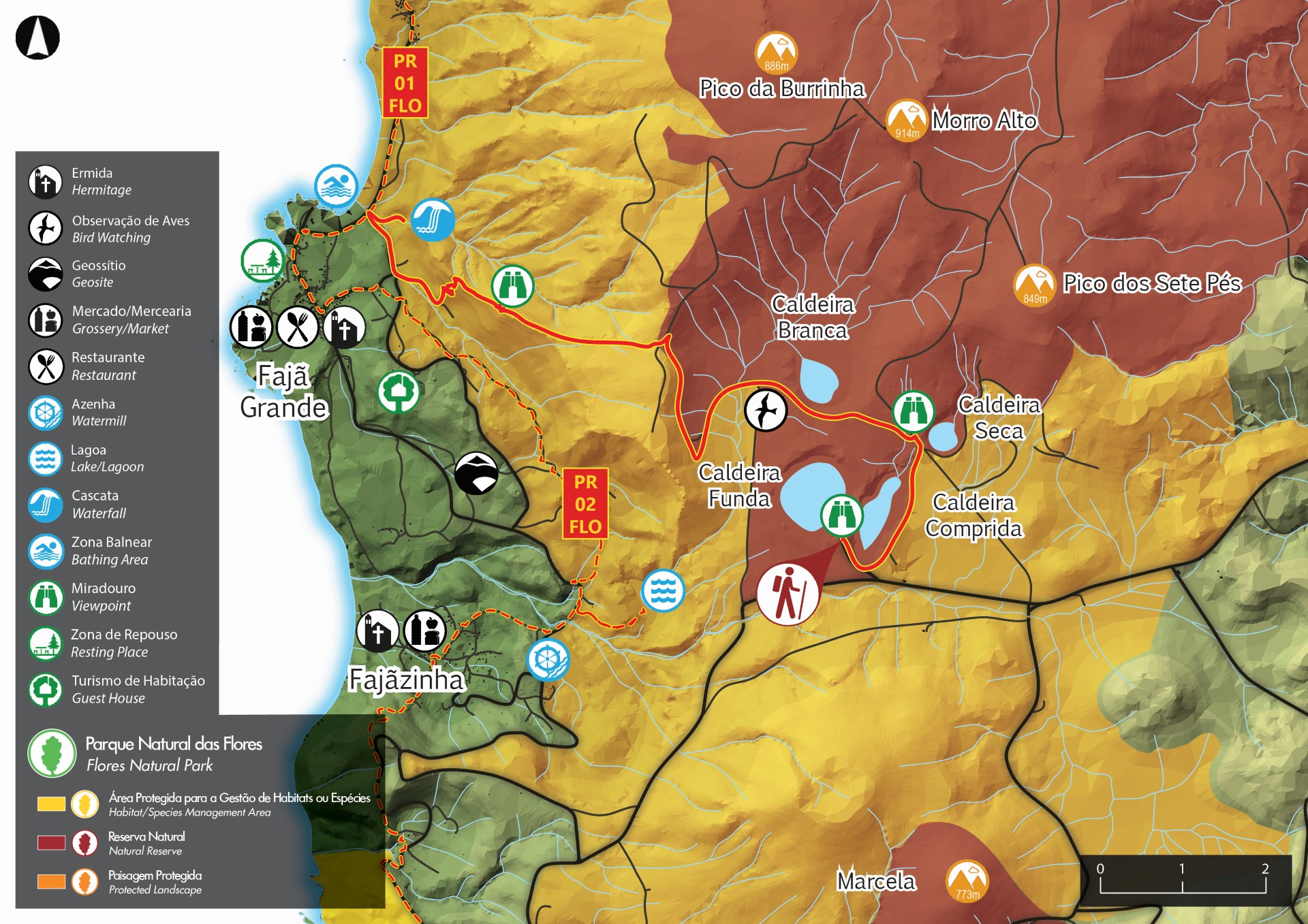
Miradouro das Lagoas - Poço do Bacalhau - Flores PR03FLO


Trail Info
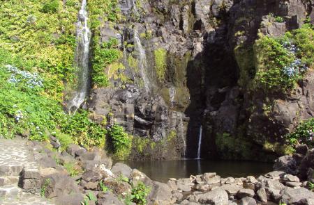
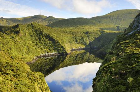
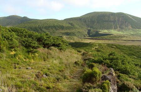
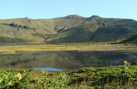
This small linear route starts at the central plateau of the island of Flores, where you will be able to see several explosion craters (maars), that later turned into lakes. The route goes west towards Fajã Grande and ends near Poço do Bacalhau, which is a 100m tall waterfall. An interesting characteristic of this route and of the island of Flores are its different "maars" located in the central plateau, which are explosion craters, associated with hydromagmatic eruptions, in which the rising magma makes contact with water, originating explosions, thus originating these formations that locals call "caldeiras".
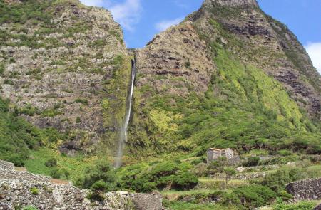
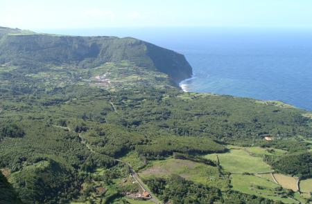
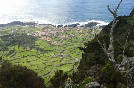
The Lagoa Negra, where the trail begins, has a depth of 108m, making it the deepest lake in the archipelago. From a scenic standpoint, this route offers a great variety of sights and landscapes like the protected areas of the central plateau with different lakes and exuberant natural vegetation. You will also see Fajã Grande, a lavic fajã with an impressive fossil cliff around 300m tall, covered by waterfalls that supply small ponds. Due to their landscape and geological importance, the Negra, Comprida, Seca and Branca lakes, as well as Fajã Grande are considered geosites belonging to the Azores Geopark.
This trail has a rich natural heritage, because it runs through the Natural Reserves of Morro Alto and Pico da Sé and the Protected landscape area of the Zona Central e Falésias da Costa Oeste. Around the "caldeiras" you can find a lot of endemic flora of the Azores (Frangula azorica, Ilex azorica, Vaccinium cylindraceum, Viburnum treleasei, Juniperus brevifolia, etc.) with moss carpets (Sphagnum sp.). It is also possible to spot the migratory bird little egret (Egretta garzetta) and the highest concentration of common tern (Sterna hirundo) in the interior of the island.
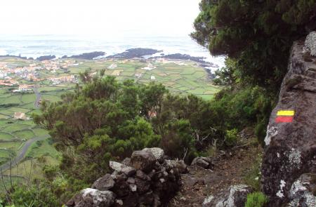
This trail is located at a high altitude, where you might experience rain and fog, therefore it is advised to check the weather forecast beforehand and to wear appropriate footwear and equipment.


