Skip to main content
Languages
English
Français
Deutsch
Português
Español
Italiano
Login
Login
Register
Username
*
Password
*
Forgot Your Password?
Azores Trails
Trails in Azores
Grand Routes
Ethics & Safety
Touristic Offer
Media Articles
Azores Islands
Santa Maria
São Miguel
Terceira
Graciosa
São Jorge
Pico
Faial
Flores
Corvo
Things To Do
Whale Watching
Golf
Scuba Diving
Geotourism
Bike Tours / BTT
Bird Watching
Surf
Big Game Fishing
Yatching
Canoeing/Kayaking
Paragliding
Horseback Riding
Book Your Trip
Travel to the Azores
Travel Agencies
Accommodation
Car Rental
You are here
Home
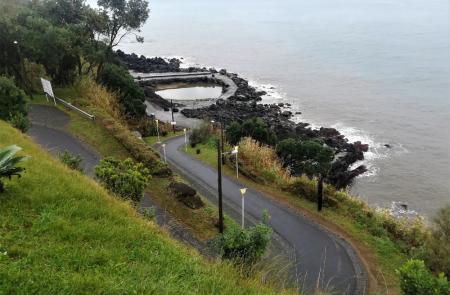
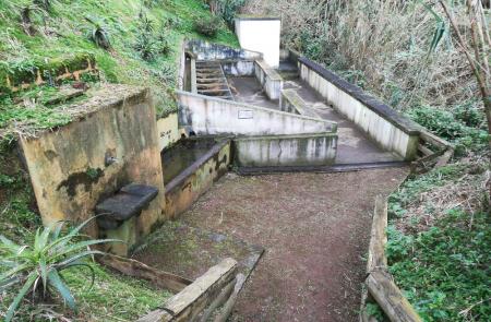
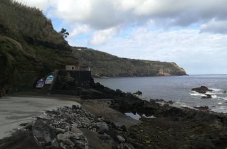
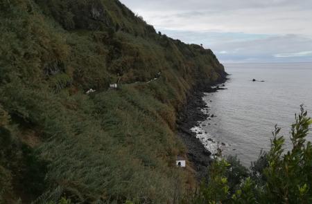
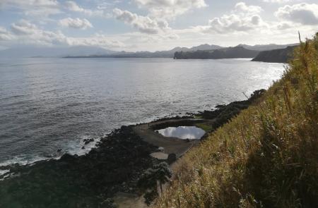
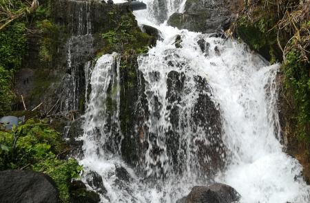
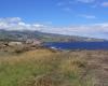
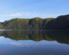
» Nascentes de Santo António
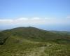
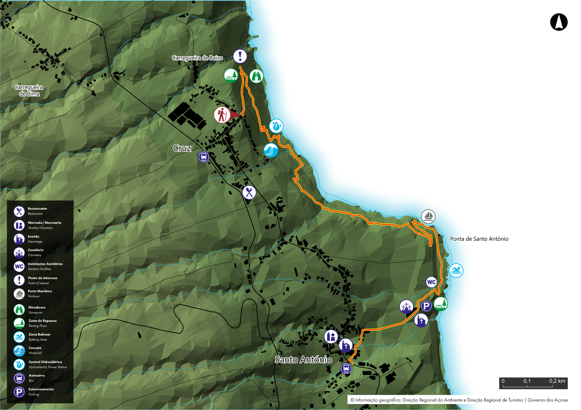
Nascentes de Santo António -
São Miguel
PR17SMI
closed trail
video:
Previous
Pause
Next
Trail Info
No site não aparece o texto em inglês.
Outline
Trail Information
Category - Linear
Difficulty - Medium
Extension - 2.8 km
Time average - 1h 30min
Classification
1
2
3
4
5
Rate this Trail
Average rating: 3.18 / 5
Number of ratings: 141
Downloads
GPS
Google Earth
Map
Trail Leaflet
Related trails
Alerts
Choose an Island
Corvo
Flores
Faial
Graciosa
São Jorge
Pico
Terceira
São Miguel
Santa Maria
Find a trail
By Island
Santa Maria
São Miguel
Terceira
Graciosa
São Jorge
Pico
Faial
Flores
Corvo
By Difficulty
Easy
Medium
Hard
By Extension
0 - 5 Km
5.1 - 10 Km
10.1 - 30 Km
> 30 Km
By Shape
Circular
Linear
Linear ida e volta


