


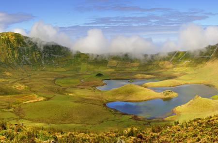
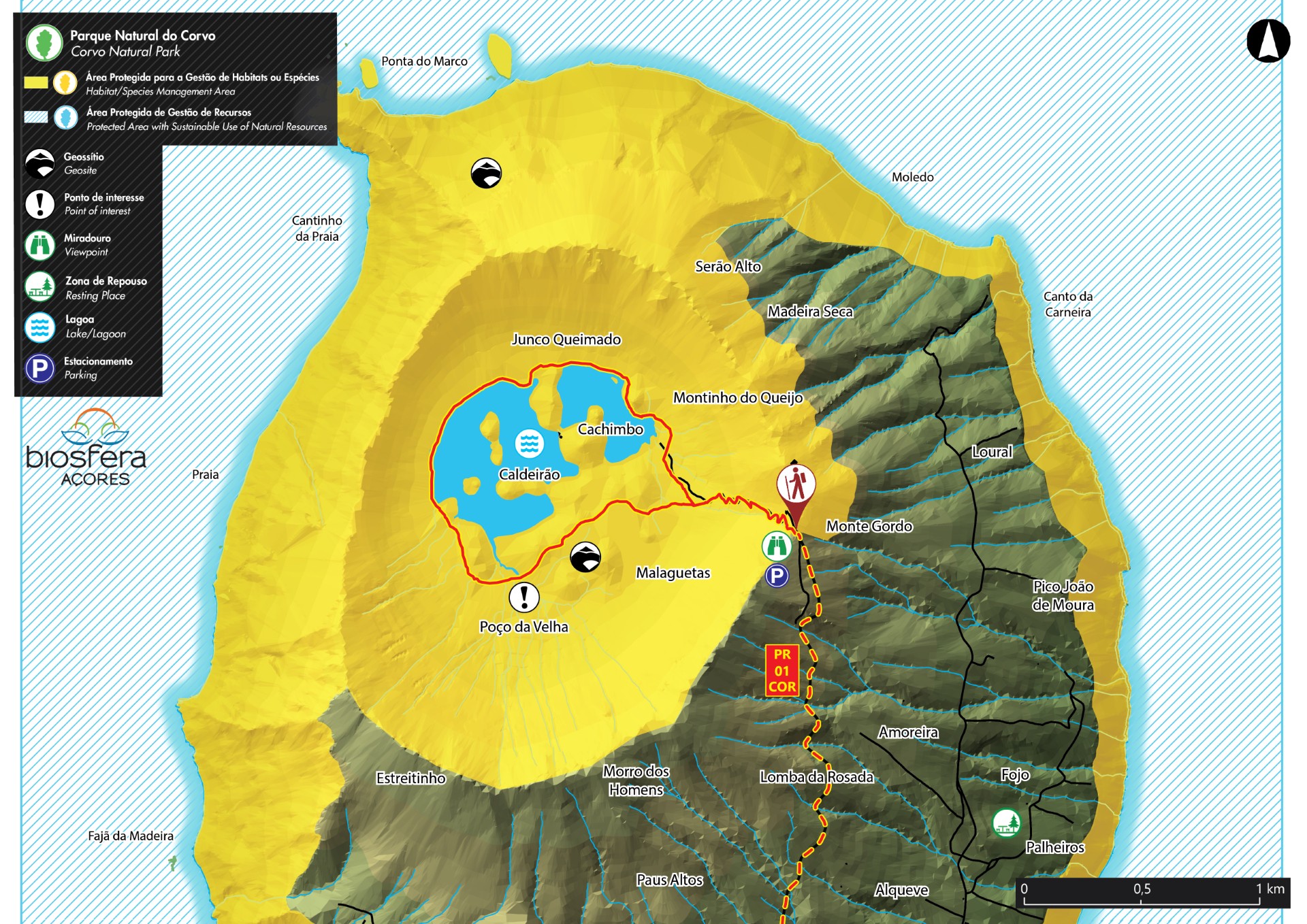
Caldeirão - Corvo PRC02COR
Trail Info
This linear route connects two important geosites, Caldeirão to Vila do Corvo, covering from North to South, one of the least affected islands of the archipelago, by the anthropogenic action. Follow along the asphalted road towards South enjoying the perspective of the island. Arriving to a house, known as the house of the Forestry, choose a dirt alley passing by the stream of Trevo, until reaching a dirt road.
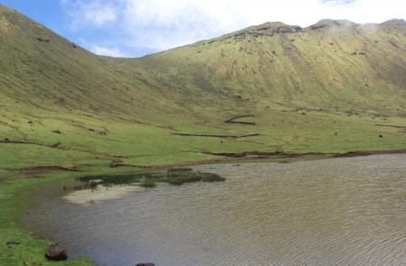
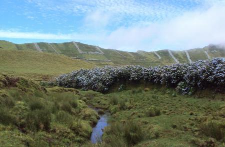
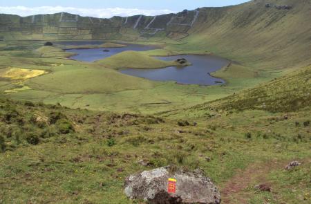
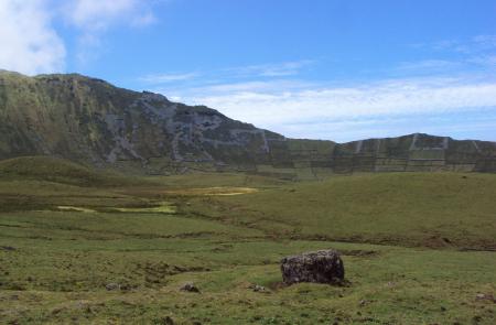
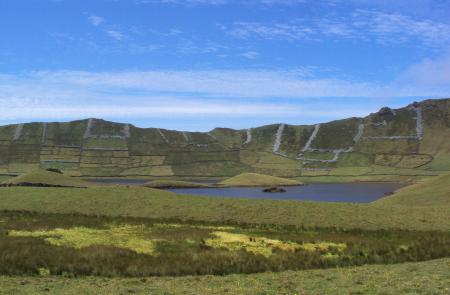
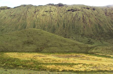
Follow the marks until the artificial water tanks, built between 2002 and 2013, they work as superficial water retention basins to serve the village population. This area known locally as Baldio, serves the local community and is characterized by the absence of cultivated fields and or pastures bordered by natural or dry stone walls, typical from the Azorean landscape. The trail goes around a volcanic cone open to the South, known as geosite of Coroínha and cliff of Pingas. Profit to enjoy the view over the island of Flores and continue until arriving again to cultivated fields and pastures. Proceed downwards among dry stone walls until near the cliff, place where you will find on your right end side a basalt rock that with the erosion has sculpted in what the inhabitants believe is the face of an Indian.
From here the road goes down in a deeper way, through a shortcut flanked by endemic flora such as azorean heather (Erica azorica) and azores juniper (Juniperus brevifolia), passing by old shelters dug on the rock and interesting geological formations. Pass by a viewpoint with view over Vila do Corvo and continue until you arrive to the road. Cross it carefully and proceed by the historical area of the village with focus on the architecture of the houses and the narrow streets determinant during the attack of the pirates, in the 16th and 17th c. At this final stage, near the coast, we can see the traditional windmills. The trail finishes at the beach of Areia, place where you can profit to refresh in the waters of the Atlantic. Visit the Eco Museum, in the center of the village and you will get to know better the heritage of the island.


