


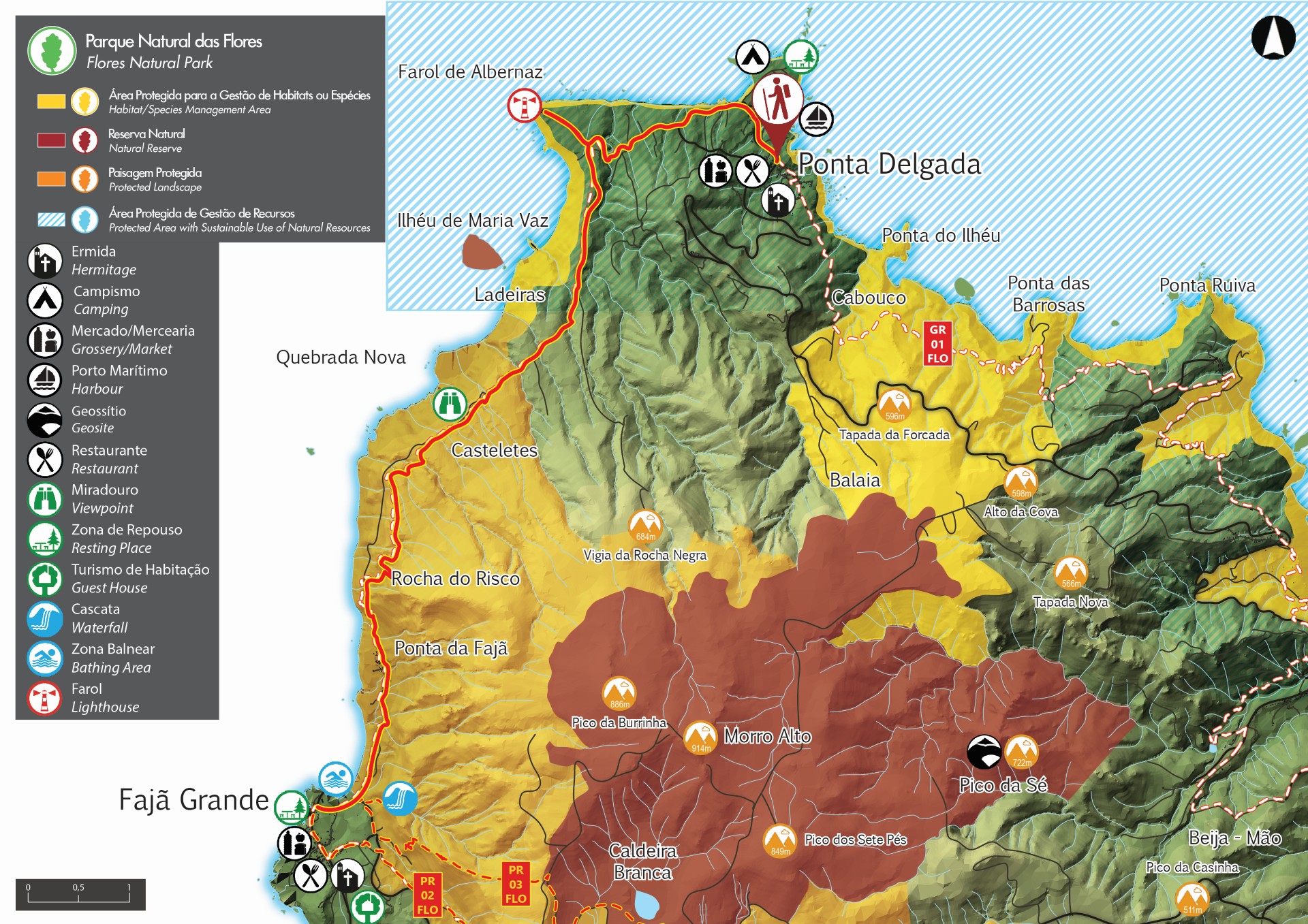
Ponta Delgada - Fajã Grande - Flores PR01FLO closed trail


Trail Info
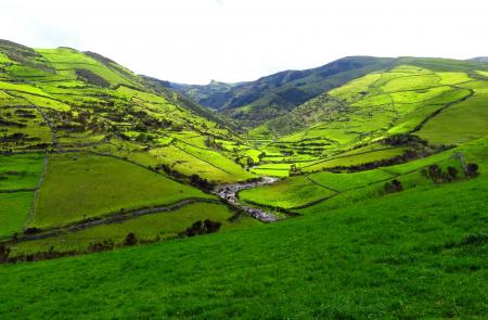
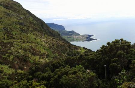
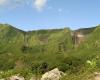
This small linear route connects the village of Ponta Delgada to Fajã Grande. The route runs through the northeast area of the island, showcasing its breathtaking and diverse landscapes. Due to its uneven morphology, steep slopes and its proximity to cliffs, it's not recommended for people who suffer from vertigo.
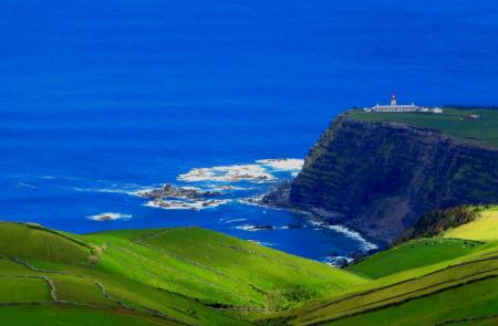
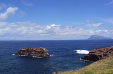
The first part of the trail starts at the centre of the village of Ponta Delgada and ends at Ponta do Albernaz. The highlights of this part of the trail are the Albernaz lighthouse (inaugurated in 1925). some pastures and valleys as the views to Corvo island. and the viewpoint that offers panoramic views of Maria Vaz islet and Ponta do Albernaz-Ponta Delgada geossite, which showcases the island's oldest lava flows dating back to a couple million years.
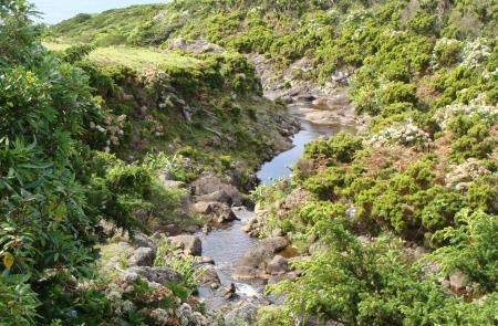
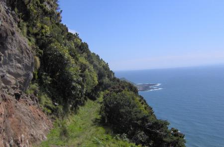
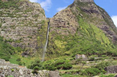
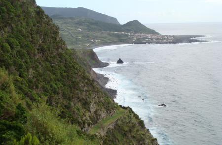
The middle part of the trail has clear and ample pathways, that run through some water lines, areas with endemic flora. This part also goes through Ponta do Albernaz, where you can see the Monchique islet, a geosite located 1500m from the coast which is the westernmost point of Europe. On the last 4km of the route, once you get to Rocha do Risco, you will start to see the first glimpses of Fajã Grande. In this area, the pathways run along the cliff and offer a view of the vastness of the ocean to the west. You will also see the Azores Juniper (Juniperus brevifolia) forests and, on the final part of the route, between Ponta da Fajã and Fajã Grande, you will find various waterfalls that flow through the fossil cliff standing at around 300m in height.
From a natural heritage standpoint, Maria Vaz islet is an important natural reserve, as it is a nesting site for birds such as the Yellow-legged Gull (Larus michaellis atlantis). On the protected landscape area of Zona Central and the west coast cliffs, which, besides having the endemic species mentioned above, is an important habitat for birds like the Cory's Shearwater (Calonectris borealis) and the Common Tern (Sterna hirundo).
Due to the various water lines and slippery rocks, it is recommended to be extra careful after rainy days and to wear appropriate footwear.
Outline
Trail Information


