


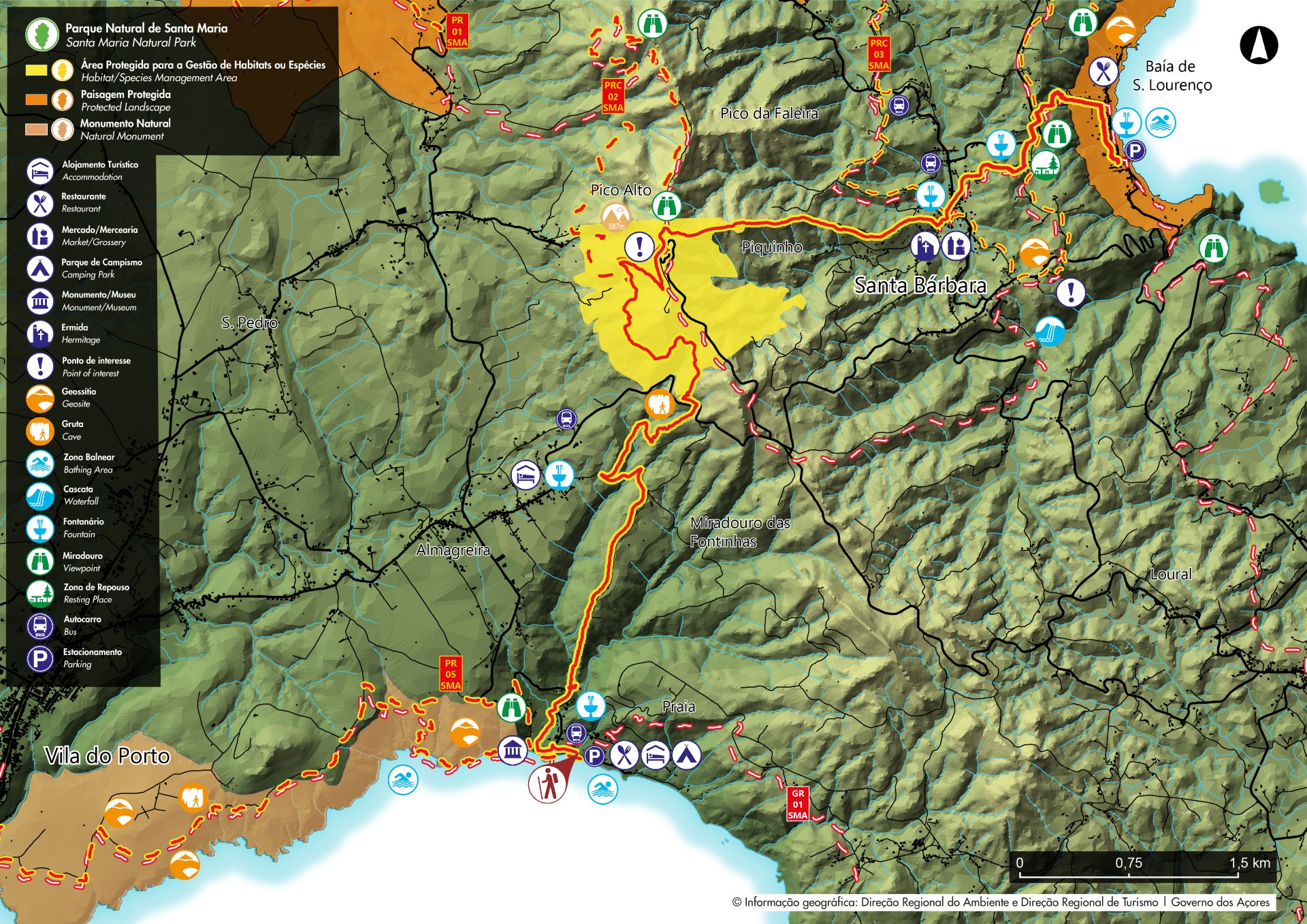
Areia Branca - Santa Maria PR06SMA
Trail Info
This linear route connects Praia Formosa (South coast) to Baía of São Lourenço (Northeast coast), making the connection between the two white sand beaches (limestone sand), unique in the Region.
Along this trail, you will cross classified areas such as the protected area for management of species or habitats of Pico Alto and the protected landscape area of Baía of São Lourenço.
Along the walk, the marks will change between white, red and yellow from the intersection of Grand and Small Route and the yellow and red for the small route. The crossings are duly indicated on the site, with signing boards.
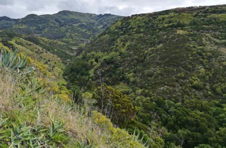
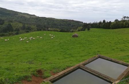
Begin the walk near the park of Praia Formosa beach and follow heading the Fortress of São João Batista, also known as Castelo of Praia. The road continues into the interior of the island, passing by some houses of the Praia area and afterwards by a pedestrian road accessing pastures and agricultural fields towards Pico Alto. In the area of Almagreira, the road goes through a wood formed mainly by Australian cheesewood (Pittosporum undulatum) but also some endemic bushy vegetation like White wood (Picconia azorica) and Azorean holly (Ilex azorica).
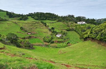
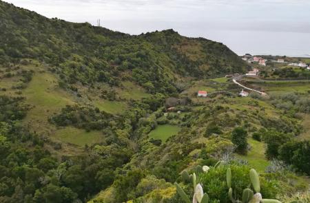
Pass by a cave until you reach Pico Alto (intersection with PRC 02 SMA - Pico Alto), the highest point of Santa Maria and where you can profit to rest and enjoy the view over the rest of the island. Follow along a dirt road between woods and agricultural fields, passing by the center of the village of Santa Bárbara. At this point the trail meets PRC 03 SMA - Entre a Serra e o Mar.
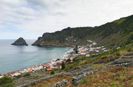
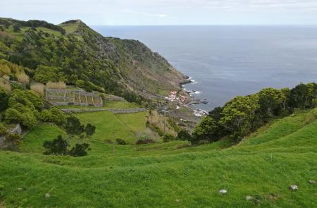
From here, the trail starts its descending sense towards Baía of São Lourenço, a natural amphitheatre surrounded by cultivated vineyards in terrace, with the beach and the natural swimming pools as background. Go down to the bay, place where the trail ends and if the weather allows it, profit to swim and refresh in the Atlantic waters.


