Pico do Pedro – Pico da Esperança – Fajã do Ouvidor - São Jorge PR4SJO
Trail Info
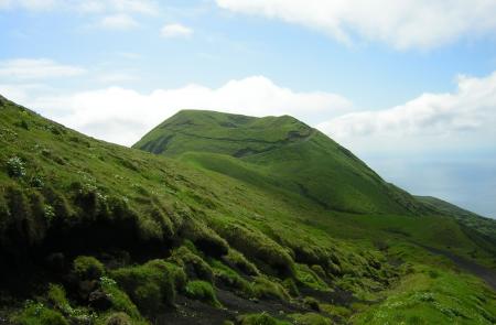
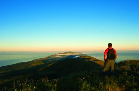
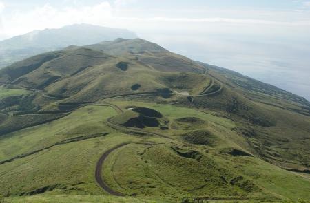
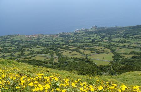
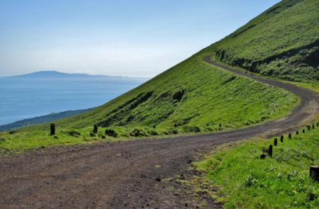
This linear route, along the mountain range, covers the central area of the island between Pico do Pedro, passing by Pico da Esperança, highest point of the island with 1053 meters and ends in Fajã do Ouvidor in the North coast. The path develops partially through the central volcanic range, between 800 and 1000 meters high, being advisable to do so in days of good weather and visibility. This trail develops in places classified as protected area for habitat and species management of Pico da Esperança and Central Plateau and the geosites of Central Vulcanic Range, Fajã do Ouvidor and Ribeira da Areia.
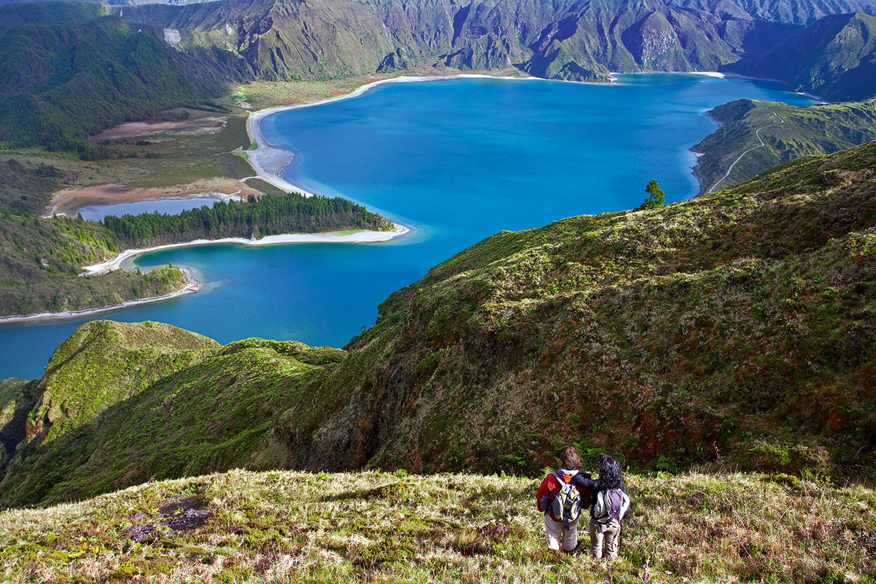
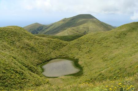
The trail begins at the base of Pico do Pedro, near the road EN3, through a dirt road. Go around the mountain by the North slope and follow the marks until you find the arrow with the detour to Pico da Esperança. Until there, the walk surrounds several other peaks such as Carvão, Junça, Verde, Montoso and Morro Pelado. At the highest point of the island it is possible to go around the crater and contemplate the lake inside.
Return to the main road and continue the trail, now in a descending stage, along the central range of the island. Pass by Pico do Areiro and further ahead, by Pico Pinheiro, both with lakes inside their craters. Ahead you will come across a crossroad with GR 02 SJO, where it is possible to connect with Fajã dos Cubres.
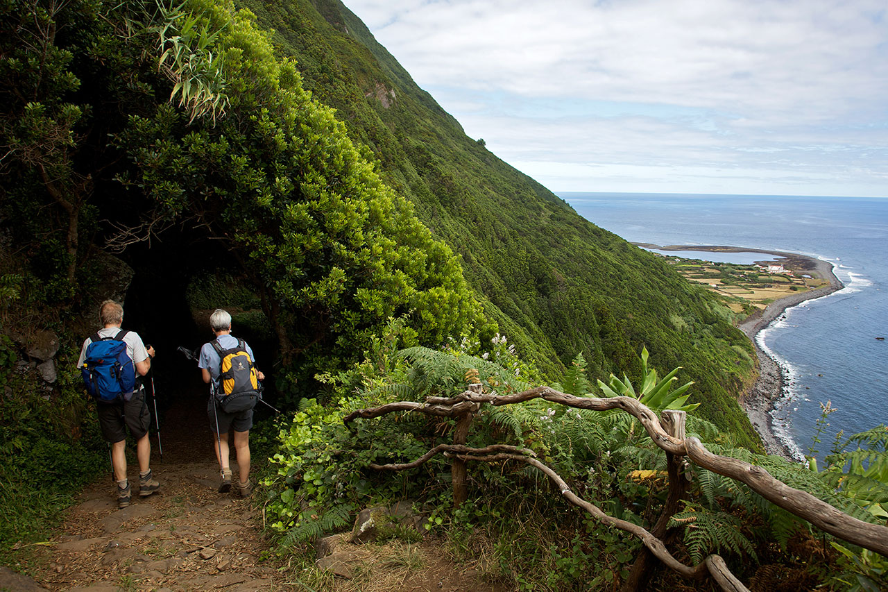
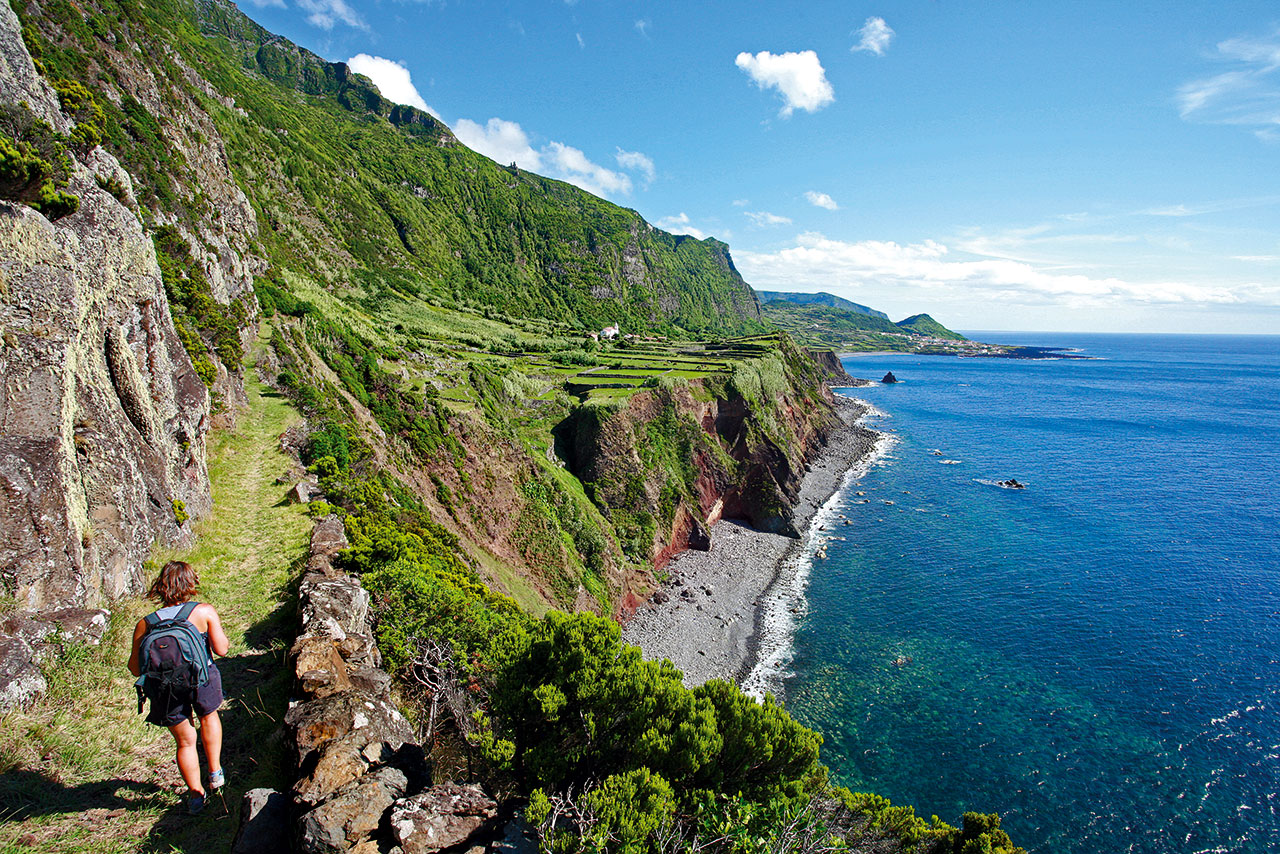
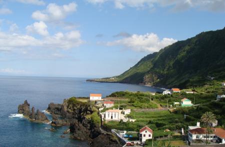
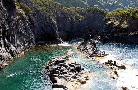
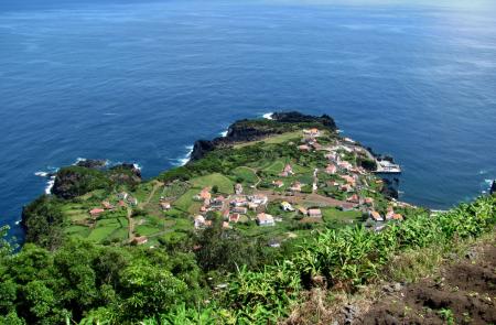
From here, the walk goes towards North, to Fajã do Ouvidor passing by wooden areas, agricultural roads and some sections in tarmac road. This fajã, unlike the others detrital fajãs typical in São Jorge, it is from lava nature with big dimensions. This flat available area, allowed a bigger development of the place with its local commerce, the existence of a fishing harbor and a bathing area.
