


Vinhas de São Caetano - São Miguel PRC48SMI
Trail Info
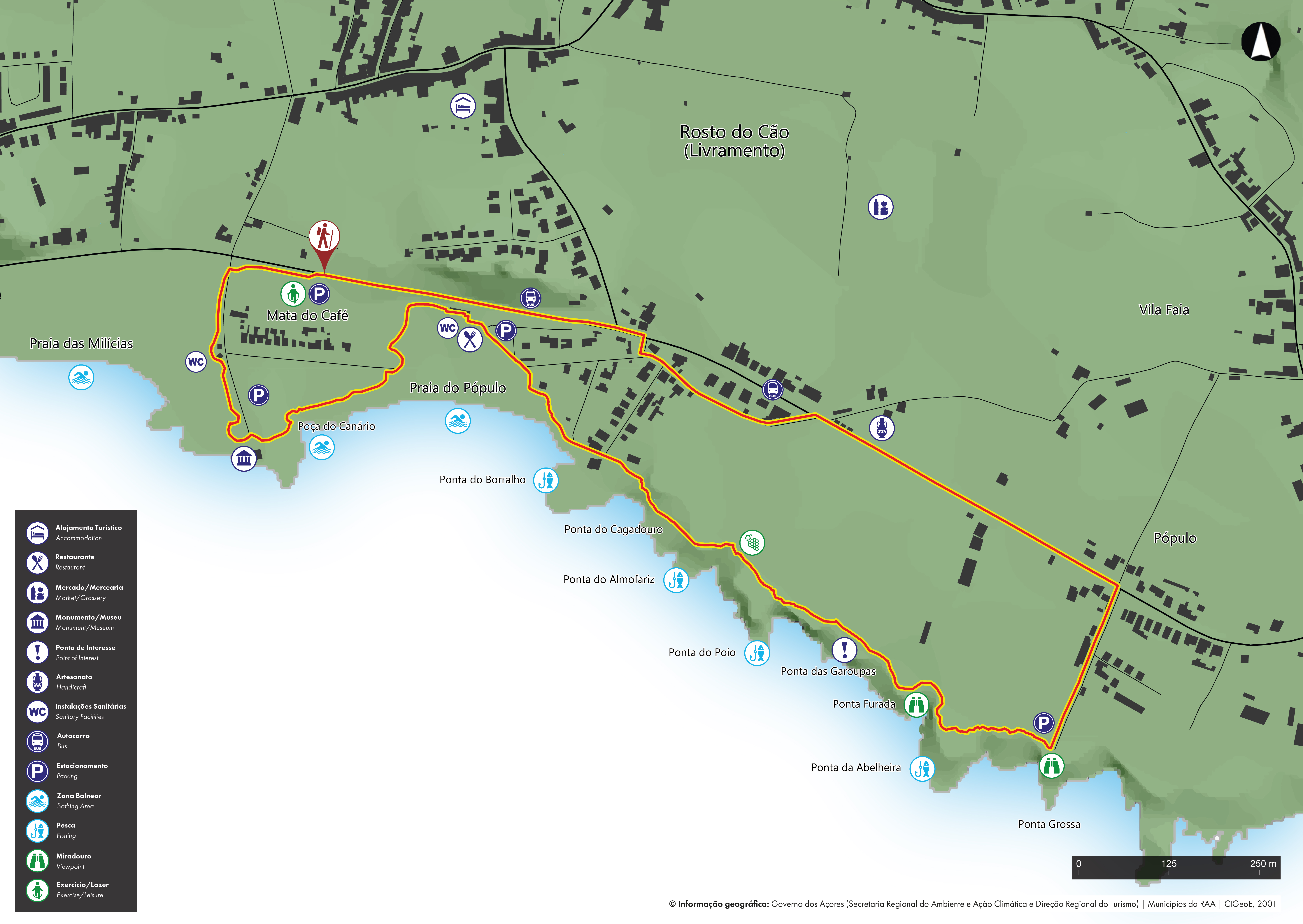
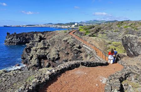
The PRC 48 SMI – Vinhas de São Caetano walking trail begins and ends at Mata do Café, in the parish of Livramento, running along the southern coastline of São Miguel in an easy circular route. Throughout the trail, walkers enjoy a landscape defined by its proximity to the sea and the historical interaction between local communities and the natural environment.
From a nature perspective, the trail passes through areas of geological interest, where volcanic sand and pebble beaches can be seen, as well as lava fields consisting of aa-type lava. This set of coastal formations, which includes the São Roque Islet – the remains of a surtsean tuff cone resulting from an underwater basaltic eruption – is classified as a geosite of the Azores Geopark.
Regarding flora, the predominant species are invasive exotic, particularly the prickly pear cactus (Opuntia ficus-indica), although it is still possible to observe some species characteristic of the coastal vegetation of the Azores, such as spiny rush (Juncus acutus), azorean bellflower (Azorina vidalii) and sea fennel (Crithmum maritimum L.).
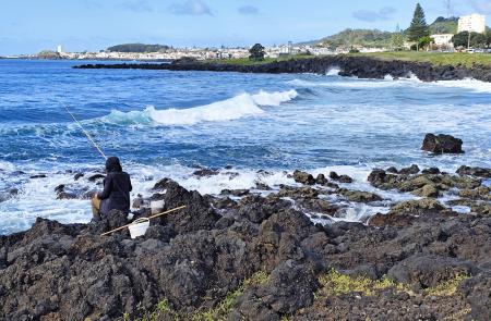
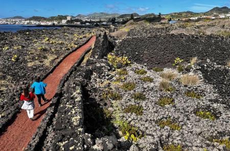
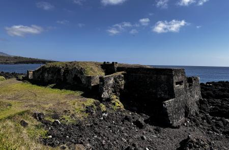
The trail also includes important cultural and historical heritage sites, with traces of the old vineyard corrals of São Caetano still visible along the way, bearing witness to the importance of wine production in this region until the 19th century. Although similar to those found on Pico, they are distinguished by their planting pattern, often in pits, forming a characteristic “latticework” landscape which, although now abandoned, is still visible on the ground. Along the coastline, there are several traditional fishing spots whose names – such as Ponta Grossa, Furada or Borralho reflect the strong connection between the communities of Livramento and São Roque to this area, especially for recreational fishing, keeping alive a deeply rooted tradition and a significant cultural and identity value. Also visible are the ruins of the Fort of São Caetano, built as part of the defence system for this coastline, in the 17th century.
Extra caution is advised on sections in urban areas, particularly along the regional road, and pedestrians should adopt safe behaviour
Outline
Trail Information