Baías da Agualva - Terceira PR02TER
Trail Info
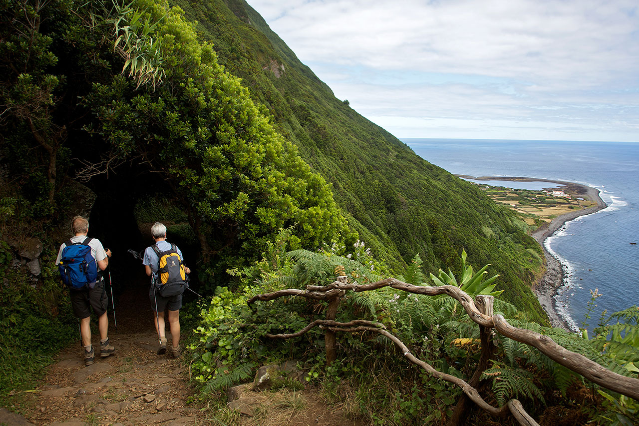
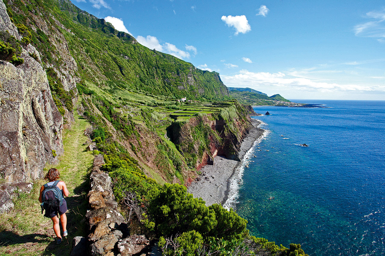
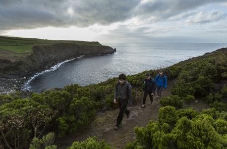
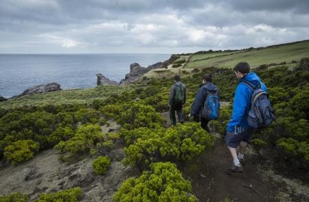
This small linear route runs along the northern coast of the island, between the parishes of Agualva and Quatro Ribeiras, mostly integrated in a protected area of the Terceira Nature Park, classified as a protected area for the management of habitats or species.
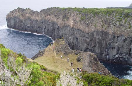
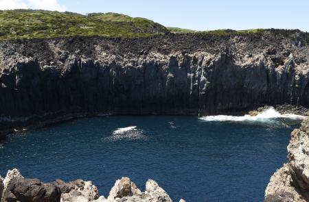
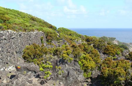
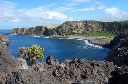
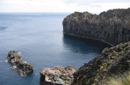
The trail starts at the Canada da Alagoa, next to the car park, and descends towards the geosite of Alagoa da Fajãzinha, also known as Fajã da Alagoa, which corresponds to an ancient bay filled with sediments transported by the watercourse that flows into it (Grota da Alagoa) and is bordered by a pebble beach. To the west of this geosite and along the trail, there are several bays with maximum altitudes of about 70 meters, cliffs with prismatic columnar jointing and trachytic fossil cliffs, which comprise the eruptive activity of the island in the last 23 thousand years.
About the sea cliffs' vegetation, various endemic species stand out, such as Spergularia Azorica, azorean heather (Erica azorica), Rumex azoricus and the emblematic azorean bellflower (Azorina vidalii).
Regarding the bird species, it is possible to observe the cory`s shearwater (Calonectris diomedea borealis), common tern (Sterna hirundo) and, occasionally, grey heron (Ardea cinerea), sanderling (Calidris alba) and kentish plover (Charadrius alexandrinus).
Due to the importance of the protected area related to this hiking trail, which includes a Special Area of Conservation (SAC) within the Natura 2000 Network, an Important Bird and Biodiversity Area (IBA) and a geosite of the Azores Geopark, it is a common responsibility to ensure the protection of this heritage and biodiversity, having respect along the walk.
Additional Information
- Postal code: 9760-000
- Address: EN1-1A
- Parish: Agualva
- Municipality: Praia da Vitória
- Coordinates: 38.78946, -27.195205
