


Fortes de São Sebastião - Terceira PR05TER
Trail Info
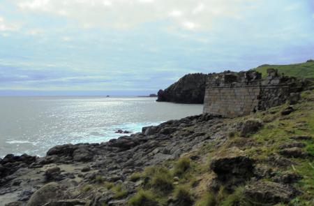
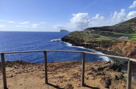
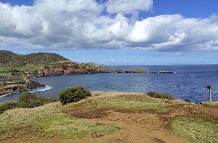
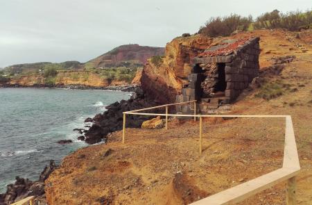
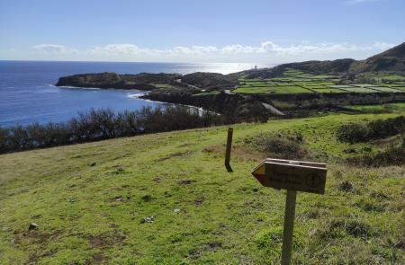
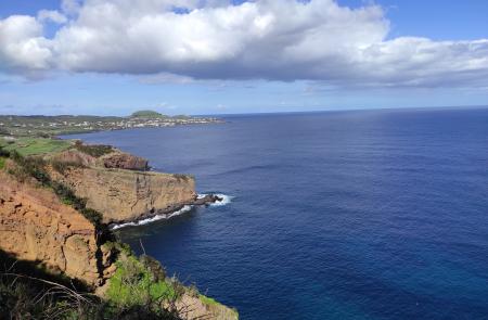
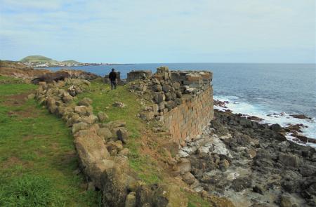
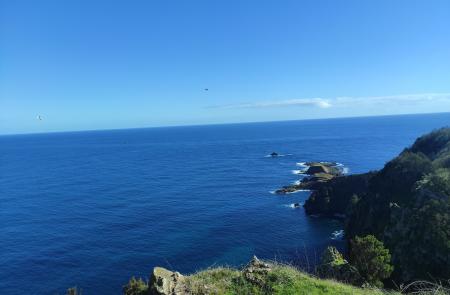
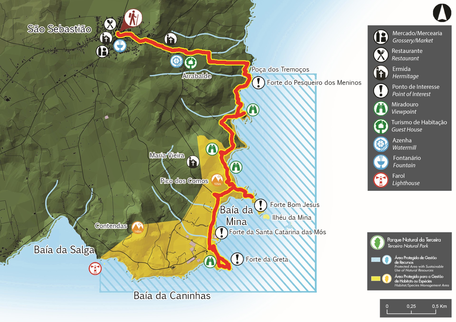
Located in the volcanic massif of Cinco Picos, this small route travels along the Southeast coast of the island, passing by remains of ancient maritime defensive forts (16th - 17th century) and ending in the village of São Sebastião. Begin the trail on the main road towards Ponta das Contendas. Go around on your right with a view over the lighthouse of Contendas and the islet - Ilhéu das Cabras - at the bottom. Go down the path to the Forte da Greta and Santa Catarina das Mós (both from 1581) and enjoy the view over the bay (Baía da Mina), ideal place for surfing. Back again at the main road, follow right, cross the greenhouses and near the Pico dos Cernos turn right, going around the trees. Choose the detour on your right that goes down until Forte do Bom Jesus, built in 1644, with a view over Baía da Mina. Return by the same way and, on the fork, go right to a small wood where the endemic Azorean Heather (Erica azorica) is predominant. At the geodesic landmark, profit to see the route already done and the one still remaining. Go down into a pasture with a cliff on the right and Willow trees (Tamarix gallica) on the left. Look back and enjoy the view over the islets of Mina. Ahead, the Willow trees give place to Giant reed (Arundo donax) and the trail goes into a dirt road, accessing agricultural fields and pastures. Follow the marks until the detour to a viewpoint, where it is possible to see São Sebastião shoreline. Turn to the main road and continue, on your right, near the sea until Forte do Pesqueiro dos Meninos, from 1581, with a beautiful view over the shoreline. From here the trail goes up to the village of São Sebastião passing by and ancient rebuilt watermill. Go up the place of Arrabalde where, in the past, the stream of Frei João used to run. Once inside the village, pass by the chapel of Nossa Senhora da Graça. Further ahead you will cross Largo da Fonte, followed by the chapel of Sant'Ana. After the church you will see the main square, place where the trail ends.


