


Passagem das Bestas - Terceira PRC07TER

Trail Info
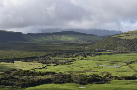
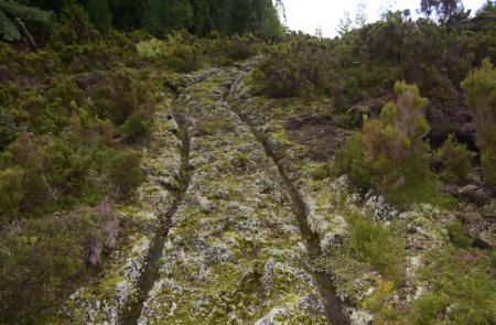
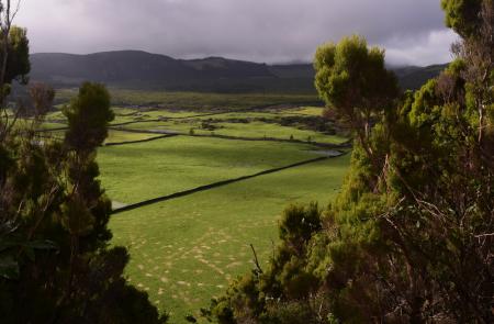
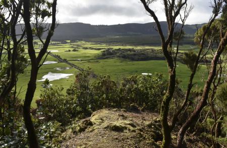
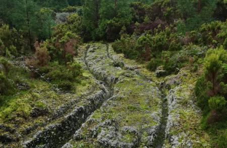
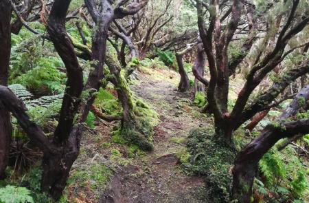
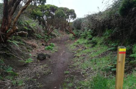
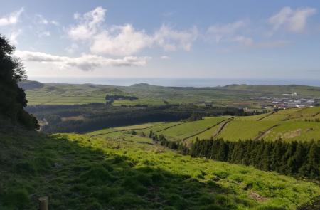
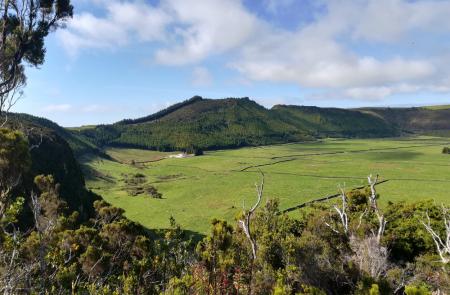
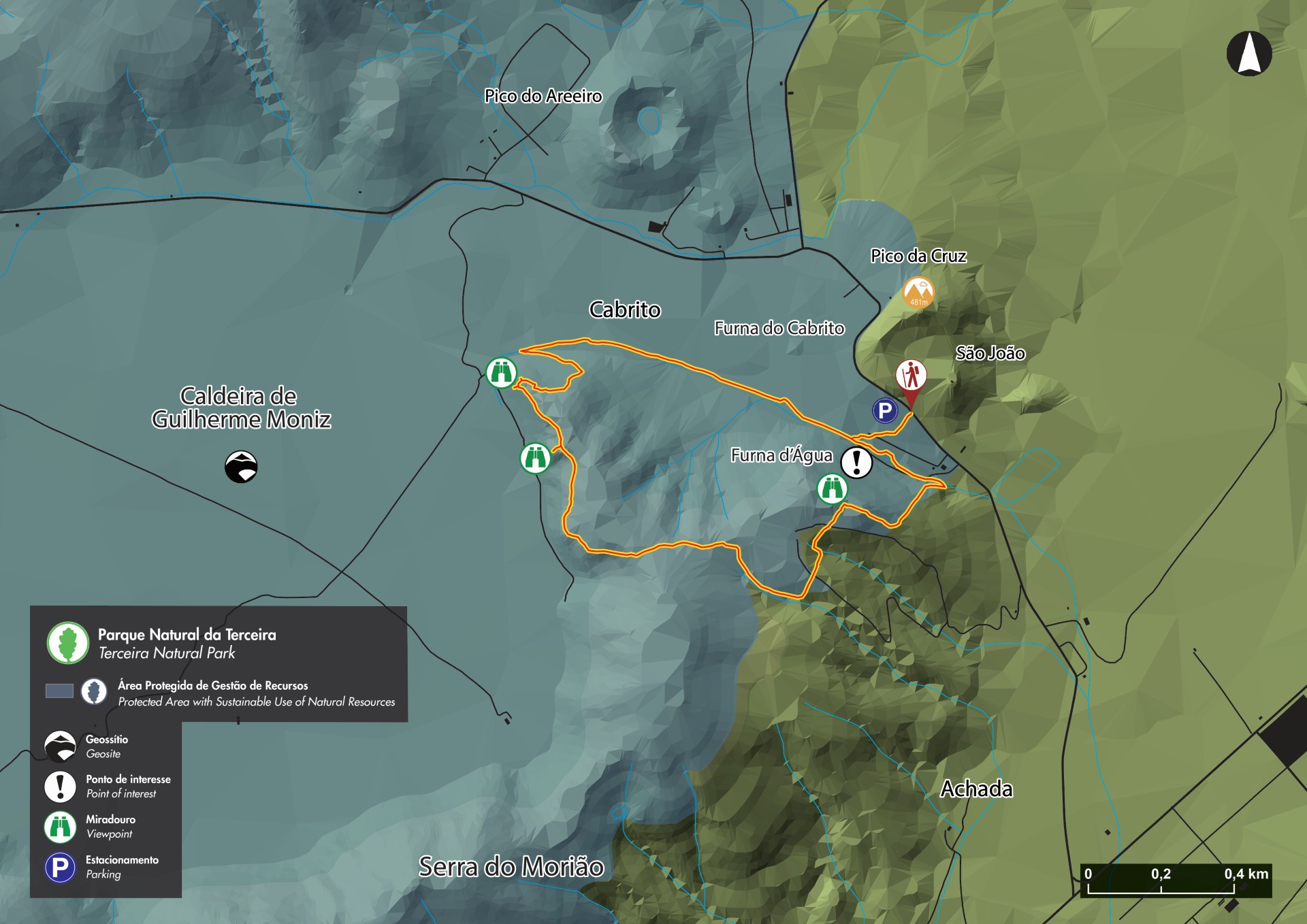
This small circular route is totally established at the geosite and protected area for resources management of Caldeira de Guilherme Moniz, known for its macaronesia woods and peatlands that assure the recharge of the aquifers in this volcanic complex, with around 23 thousand years. Begin the trail at the parking place, near the road, and follow along an old lava field, rocky and irregular, until the fork, where you should turn left. At this part of the trail it is possible to see, printed on the floor, the old oxcart tracks known as Passagem das Bestas, carved on the rock by the rolling of thousand oxcarts that for centuries, would come to the crater to pick wood. Go down, following the old oxcart tracks, and follow the course of a stream until you arrive to a tube that supply the mini-hydric power plants of Angra. Then the trail follows a wood of Japanese Cedars (Criptomeria japonica) passing by a viewpoint. Cross the pasture, where it is possible to see on your left, the biggest crater of the Azores, between the hill of Ribeirinha and Serra do Cume, the collapsed crater of Vulcão dos Cinco Picos with an average diameter of 7 kilometers. Afterwards the trail follow a forest line until it reaches its highest point, in the hill of Morião. The trail, in a descendant sense, develops in a forest, rich in endemic species such as Azorean Heather (Erica azorica) and Azores Juniper (Juniperus brevifolia) Pass by a viewpoint with view to Terra Brava and ahead, another one with a view to the interior of Caldeira do Guilherme Moniz. Go down the ravine that was used to access this crater and proceed until you arrive again to the old oxcart tracks. Reaching the initial fork, turn left to the parking place, where the trails finishes.


