Pico da Praia - São Miguel PRC44SMI
Trail Info
The route begins on the “Ribeira da Praia” path and develops along the southern slope of the “Serra de Água de Pau”. This trail provides connection between the municipalities of “Vila Franca do Campo” and “Lagoa”. It allows hikers to choose several trails options, according to the time availability and their physical condition.
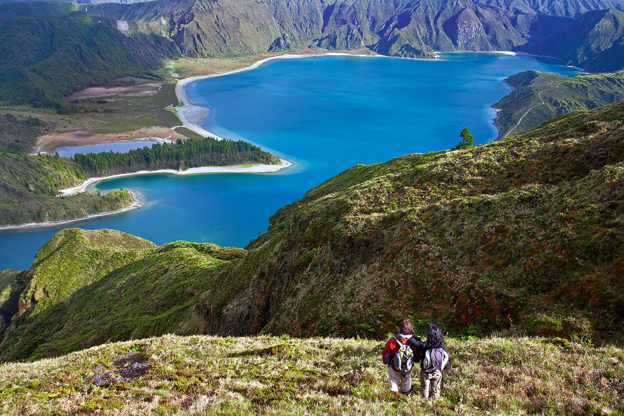
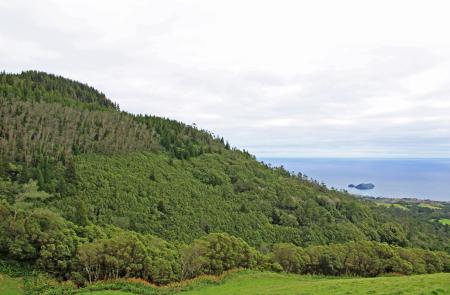
The trail´s name, “Pico da Praia”, comes from an elevation with an altitude of 598m, that results from the accumulation of pumice pyroclasts released by volcano of “Fogo” and strongly moulded by the erosion of the neighbour streams, which stands out from the other elevations for its cryptomeria forest cover. Arriving at a small dam spillway of the hydropower plant “Central Nova”, it is possible to take a detour (5 km roundtrip) through the trail PRC02SMI, following along the “levada” (water conduct) to the south shore of “Lagoa do Fogo”, classified as a Nature Reserve and geosite of the Azores Geopark.
Along the trail, stands out its importance at the hydrological heritage level that includes water collection and distribution systems that serve the public supply of the “Lagoa” and “Ponta Delgada´s” municipalities, the streams Ribeira das Três Voltas, Ribeira dos Passarinhos, and the ruins of the old flax factory in Pico da Praia, which transformed the leafs of “New Zealand flax” (Phormium tenax) into fibers to make cordage, ropes, cables and coarse cloth.
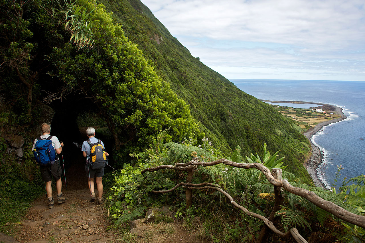
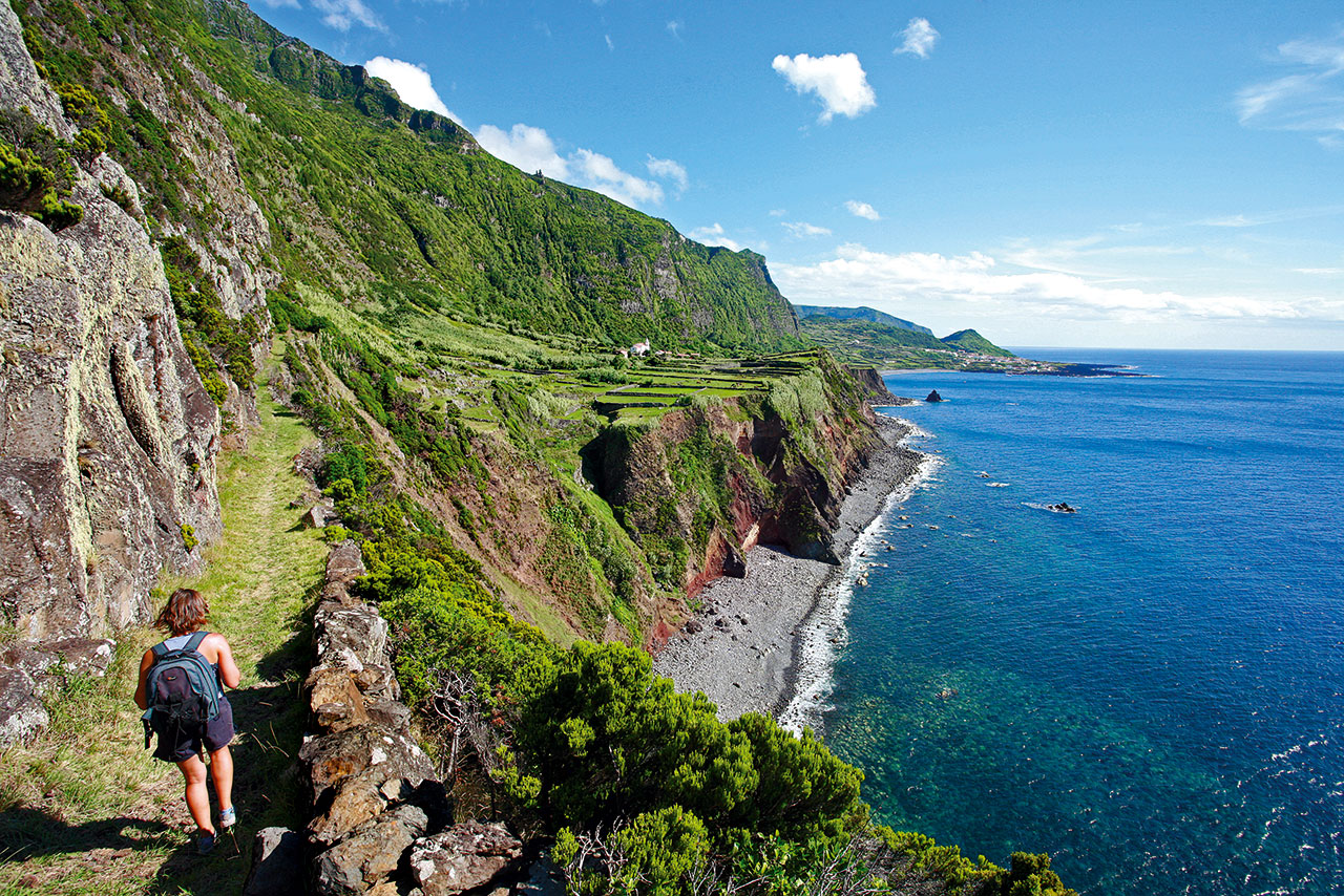
The trail´s landscape is markedly agroforestry and presents a balance between the dark green of the Japanese cedar, the eucalyptus and the Australian cheesewood and the light green of the pastures that characterize the agricultural landscape of the Azores. At higher altitude zones, it is possible to observe forest spots, rich in Azorean natural flora species, such as the Erica azorica (green heather), Calluna vulgaris (common heather), Vaccinium cylindraceum, laurels, among others. At more open areas, it is possible to contemplate “Pico da Praia” and a wide panorama view over the coast, where stands out the sea, and the “Vila Franca do Campo” islet, “the most sublime islet there is on the islands”, according to the Azorean chronicler Gaspar Frutuoso.
This trail follows along the slopes of the “Serra de Água de Pau”, and is therefore an ideal trail to make on foggy days or even on hot days, climbing through the refreshing shadows of the trees. It is recommended to do the trail in an anti-clockwise direction.
