


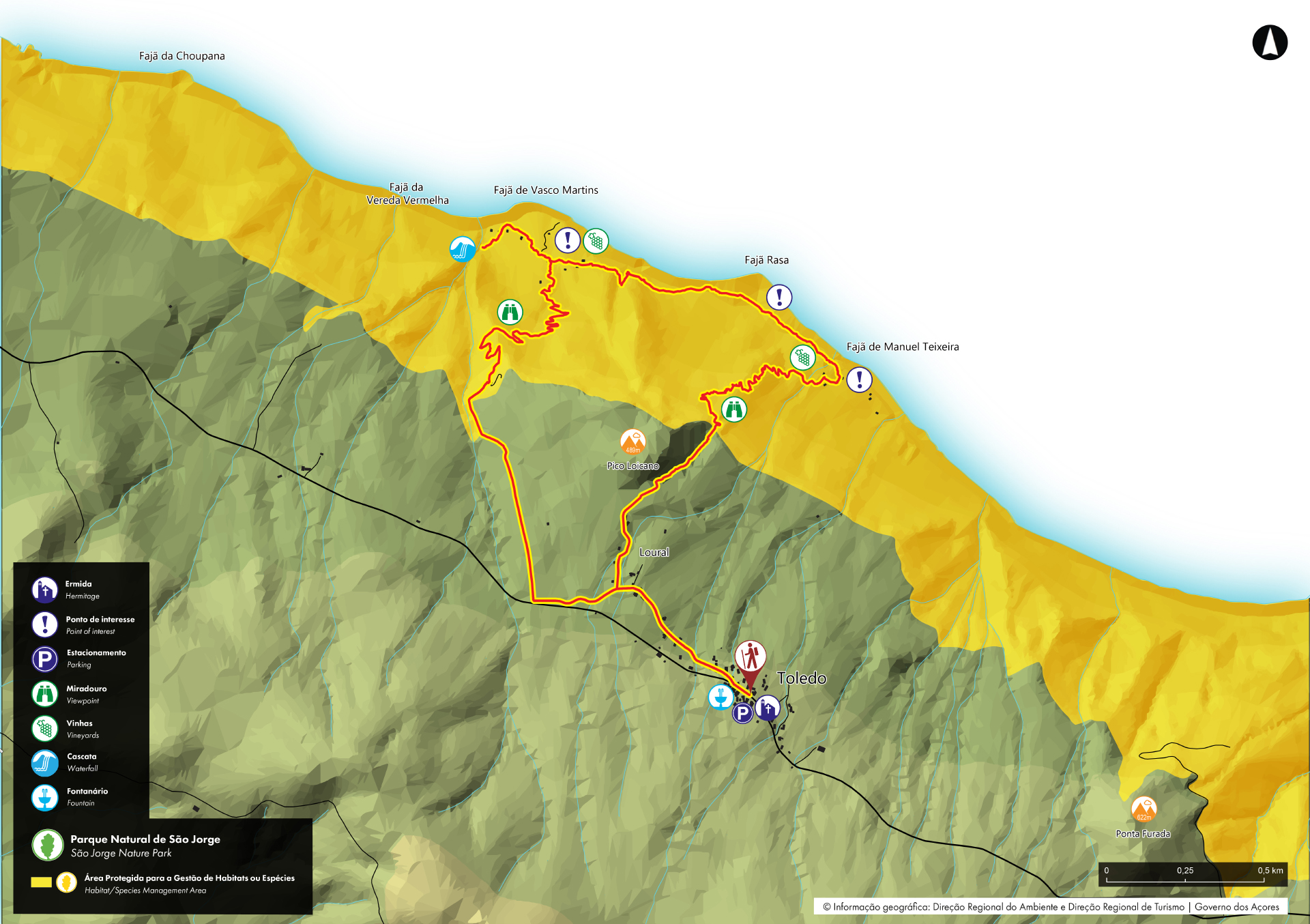
Fajãs do Toledo - São Jorge PRC08SJO
Trail Info
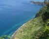
This circular trail, starting in the village of Toledo, is partially located within the São Jorge Natural Park, in the Habitat/Species Management Area of the Northwestern Coast of São Jorge. It is also situated within the core zone of the Fajãs de São Jorge Biosphere Reserve, and along the way, the trail introduces hikers to three iconic fajãs: Manuel Teixeira, Rasa, and Vasco Martins. Fajãs are one of São Jorge’s most iconic geological features, consisting of flat coastal platforms typically formed by landslides or lava flows from the cliffs above. Thanks to their fertility and favourable microclimate, they support agriculture in ways that are not viable in the island’s higher altitudes.
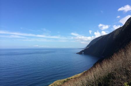
The hike begins near the Chapel of São José, built in 1889. From there, follow the path to the right, along the old regional road, and then descend through former corn and wheat fields, now converted into pastures. In this early section of the trail, which has a gentle slope, you can enjoy views of Ponta Furada, the Fajã do Ouvidor, and, on clear days, the islands of Graciosa and Terceira on the horizon.
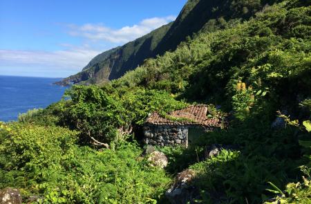
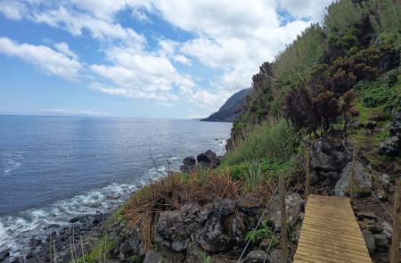
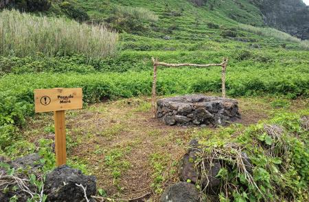
The hike continues to the Fajã Manuel Teixeira, also known as the Fajã do Caminho do Meio, a name that refers to an old stairway trail that was abandoned after the 1980 earthquake. Here you can observe small terraced plots once used for vineyards and fruit trees, yam cultivation near water springs, ruins of old buildings, cables lines used to transport firewood from the fajã, and the Ribeira da Quebrada stream. Carefully crossing the Ribeira da Quebrada, you reach the Fajã Rasa. This narrow strip of land by the sea was once used for small-scale farming, particularly vineyards, potatoes, melons, and watermelons.
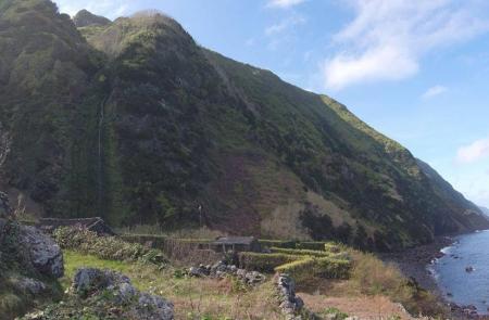
Continuing along the trail, you’ll reach the Fajã Vasco Martins, one of the island’s largest and most remote fajãs. Like Manuel Teixeira and Rasa, it was gradually abandoned after the 1980 earthquake, along with most of its farmland. One of the main highlights of this fajã is the Poço das Airoses waterfall, named after the local freshwater eels known as airoses.
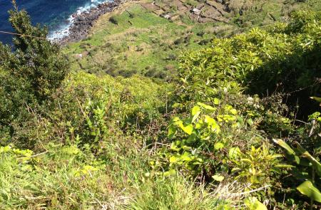
The return climb follows a narrow path up the cliff, rich in native vegetation and offering breathtaking panoramic views. At the top of the climb, rejoin the access path through the agricultural fields and continue to the regional road. Turn left and follow it back to your starting point.
Profil
Informations


