


Pico Alto - Santa Maria PRC02SMA

Trail Info
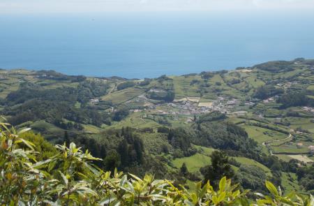
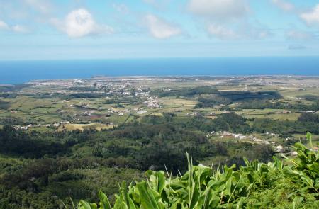
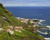
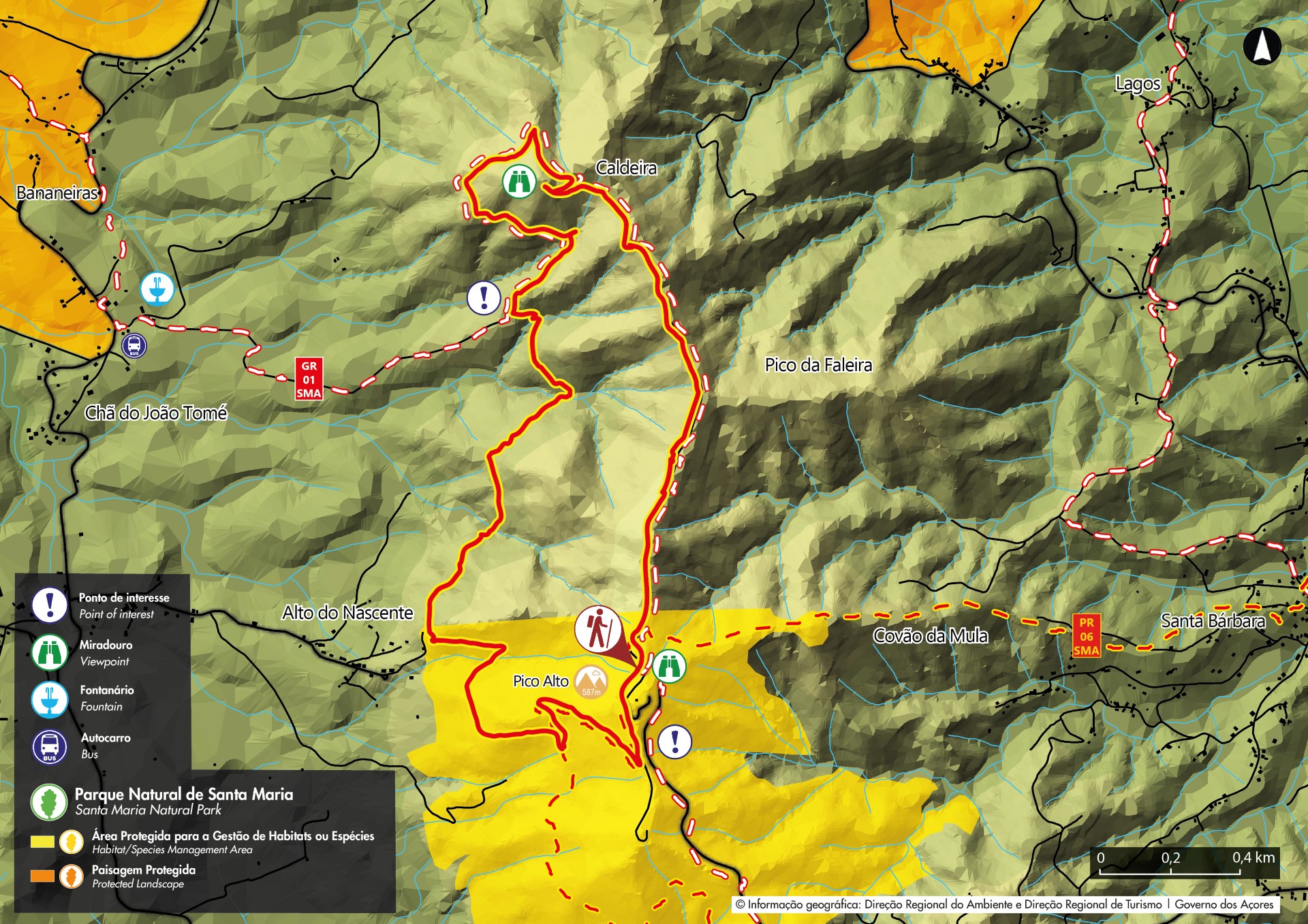
This small circular route covers a forest area inserted in a protected area, passing through several natural viewpoints from where it's possible to see different landscapes of the island.
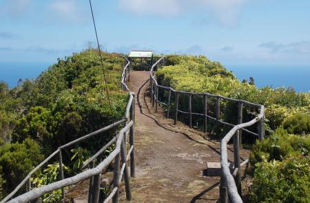
Start the trail in the Pico Alto car park and climb a stairway near a military building to reach the highest point of the island, which boasts views over Santa Maria.
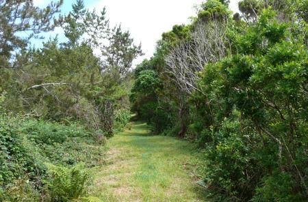
From here, return to the starting point of the trail and follow a dirt lane in a forest area to the north of the island. On this section of the trail you will find large trees - Japanese cedar (Cryptomeria japonica) and some endemic bush vegetation, including viburnum trees (Viburnum treleasei) and Azores blueberries (Vaccinium cylindraceum).
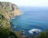
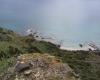
The route winds downwards and passes by a viewpoint which overlooks the caldera to the left. You will also have impressive views of the west coast of the island.
Back on the main road, pass by the guardhouse, where this trail intersects with the great route of Santa Maria (GR 01 SMA), and head south towards the village of Alto Nascente. From here, the trail climbs back to the start of the trail along a path used by workers in charge of looking after the area.
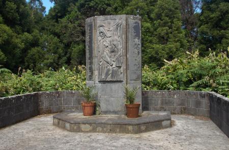
On the final portion of this trail you will pass by a monument erected in memory of the victims of the biggest plane crash in Portugal that took place here in 1989.
Outline
Trail Information


