Fajã da Caldeira do Santo Cristo

Terceira

Pedra Furada da Serra da Ribeirinha

Informationen
Kategorie - Rund
Schwierigkeit - Mittel
Länge - 6.6 km
Zeit Durchschnitt - 2h30
Wanderwege informationen

This small circular route begins next to the Ribeirinha Ethnographic Center, which includes a cultural heritage linked to the customs and traditions of the parish and develops, mostly, along the Serra da Ribeirinha, which constitutes the southwestern slope of the Cinco Picos volcano, including the largest volcanic caldera in the Azores - Caldeira dos Cinco Picos.

Grande Rota do Oeste

Wanderwege informationen

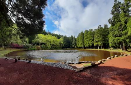
The GR01 TER West Great Route covers the west part of the island, in a linear route that connects the Forest Reserve and Recreation Park of Lagoa das Patas to the Forest Reserve and Recreation Park of Mata da Serreta. It has an extension of approximately 31,2 km.

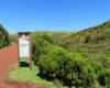
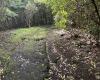
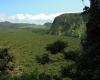
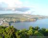
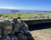
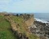
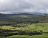
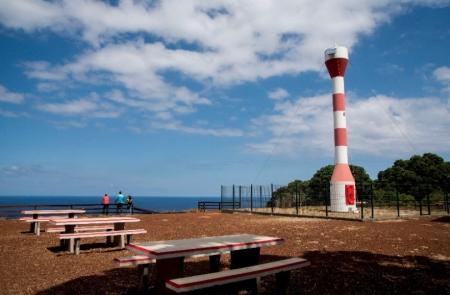
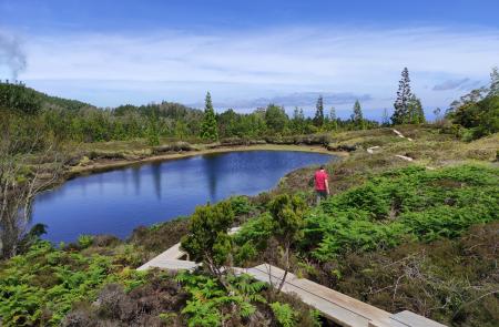
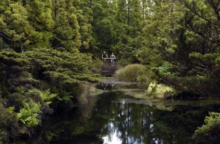
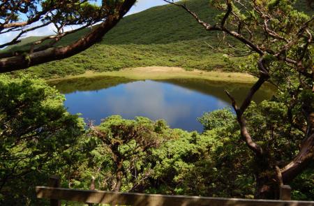
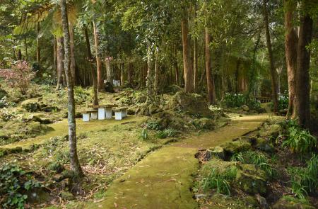
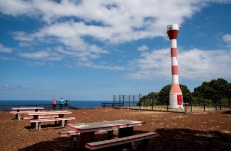
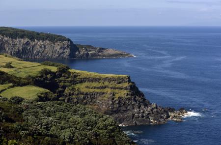
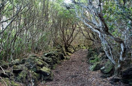
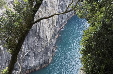
This trail prompts hikers to get acquainted with its rich and vast natural, scenic, social, and cultural heritage. Throughout this route it is possible to observe a wide range of landscapes, natural communities and ecosystems, such as recreational areas, coastal cliffs, semi-natural forests and mountain areas.

Malha Grande - Biscoitos

Informationen
Kategorie - Streckenwanderweg
Schwierigkeit - Mittel
Länge - 14.2 km
Zeit Durchschnitt - 3h30
Wanderwege informationen

This small linear route connects Rocha do Chambre, located in the inner part of the island, to the popular swimming area of Biscoitos, during 14,2 km.

Algar do Carvão - Furnas do Enxofre

Informationen
Kategorie - Rund
Schwierigkeit - Mittel
Länge - 6.2 km
Zeit Durchschnitt - 2h30
Wanderwege informationen

This short circular route takes place in a public sector of a Protected Area for the Management of Habitats or Species of the Central Plateau and Northwest Coast, where several environmental and landscape recovery actions are occurring. It connects two Natural Monuments – Algar do Carvão and Furnas do Enxofre.

Passagem das Bestas

Informationen
Kategorie - Rund
Schwierigkeit - Mittel
Länge - 4 km
Zeit Durchschnitt - 2h30
Wanderwege informationen

Dieser kleine Rundweg führt im gesamten Verlauf durch das Schutzgebiet und die Geosite des Vulkankraters Caldeira de Guilherme Moniz, der mit seinen makaronesischen Wäldern und Torfmooren den Grundwasservorrat dieses etwa 23.000 Jahre alten Vulkankomplexes sichert.

Fortes de São Sebastião

Informationen
Kategorie - Streckenwanderweg
Schwierigkeit - Leicht
Länge - 5.7 km
Zeit Durchschnitt - 2h30
Wanderwege informationen

Im Vulkanmassiv des Cinco Picos führt dieser kleine Weg entlang der Südostküste der Insel, vorbei an Resten der alten maritimen Verteidigungsfestungen (16. bis 17. Jahrhundert), und endet im Ortszentrum von São Sebastião.

Rocha do Chambre

Informationen
Kategorie - Rund
Schwierigkeit - Mittel
Länge - 8.8 km
Zeit Durchschnitt - 2h30
Wanderwege informationen

Dieser Rundwanderweg beginnt und endet an der Landstraße in der Ortschaft Malha Grande im hügeligen Gebiet der Gemeinde von Biscoitos.

Starten Sie, indem Sie den von heimischer Flora wie dem Lorbeer (Laurus azorica), Heidekraut (Erica azorica), Makaronesischem Gabelbaum (Morella faya) und Kleinblättrigem Wacholder (Juniperus brevifolia) gesäumten Schotterweg entlang gehen. Bei Erreichen der Weggabelung wenden Sie sich nach links auf einen Pfad aus steinigem Untergrund, der Sie zu einem Wasserlauf in einem Sicheltannenwald führt.

Pages

Subscribe to RSS - Terceira