Grande Rota das Flores - Flores GR01FLO closed trail
Trail Info
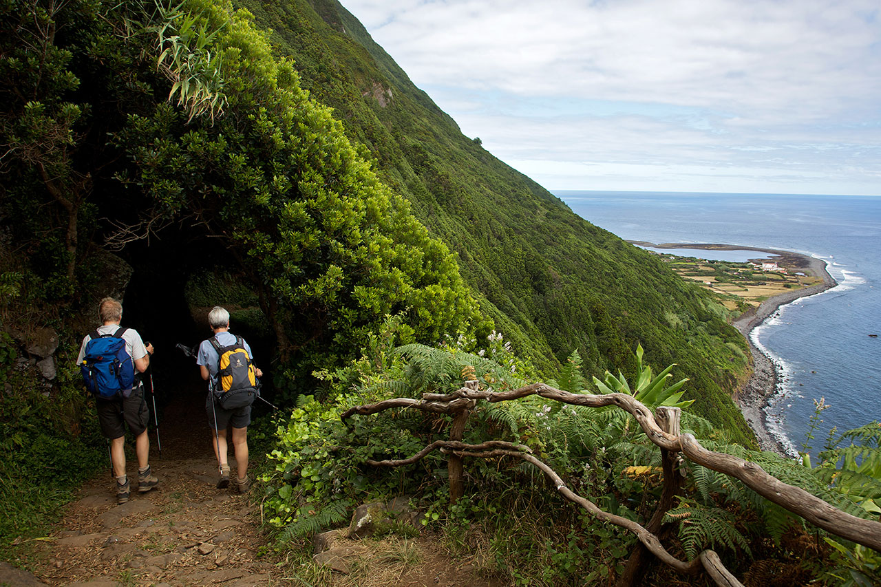
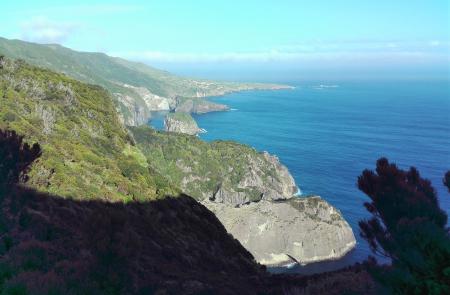
"The Great Route of Flores travels along the coastal landscape of the island, connecting the main village Santa Cruz to the civil parish of Lajedo, located on the southwest coast, through a linear route with high difficulty level. Some parts of the trail have steep descents, such as the one in the Rocha do Risco, therefore this section is forbidden for people with vertigo.
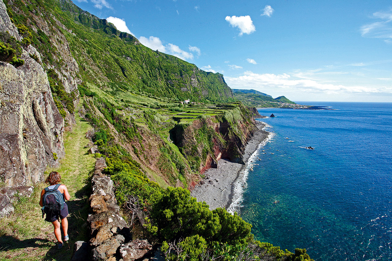
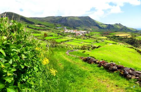
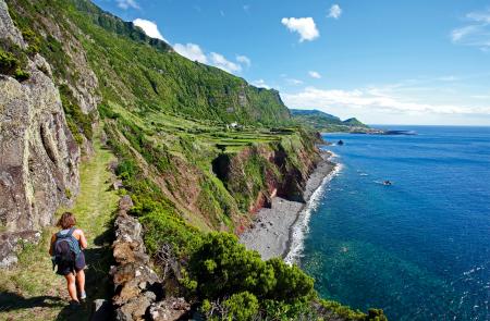
This route presents a great variety of volcanic landscapes, complemented by the existence of small villages and a vegetation with a lot of endemic species, namely in the Northeast coast and in the cliffs of the West coast. Whenever possible, you can profit from the numerous bathing areas along the route and, as you walk by the rural centres, you can purchase any supplies you might need or even stop at any restaurant, namely in Ponta Delgada or Fajã Grande.
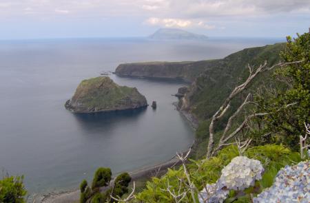
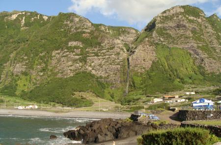
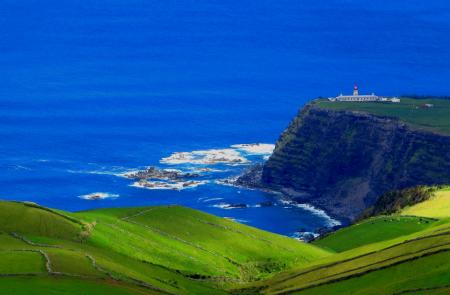
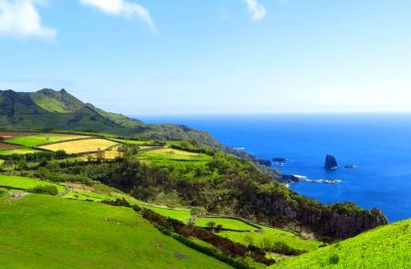
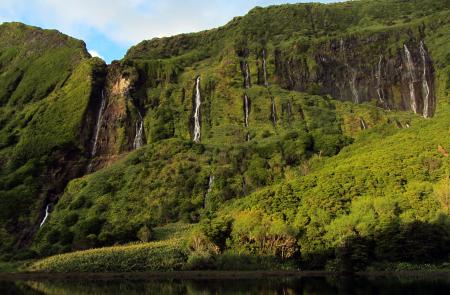
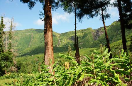
This hike has two stages of approximately 21 km and 26 km. The first one connects Santa Cruz to Ponta Delgada and the landscape is characterized by inumerous and extensive valleys with several streamlines, that led to the construction of a Hydroelectric Power Plant, located on the initial stretch. In addition, the stage runs along the northeast coast, where you can see high cliffs, inumerous islets and coves, that provides an important nesting area for several species of seabirds. As for the second stage, which connects Ponta Delgada to Lajedo, the initial low and linearized coastal line between Ponta Delgada and Ponta do Albernaz gives place to one of the most beautiful coastal landscapes of the Azores, where the lava and detrital fajãs such as Fajã Grande and Fajãzinha are separated from the central plateau of the island by a long fossil cliff, with about 300m of height, where several streamlines flow, resulting in impressive waterfalls, with the main highlight called Poço da Alagoinha - a little lagoon on the base of the cliff. Small villages such as Mosteiros, the less populated civil parish of Portugal, are a special charm to the surrounding landscapes.
You should plan your walk according to your physical ability, interests and availability. As it crosses several streamlines, be aware for flood rise after high precipitation events. "
Outline
Trail Information
Stage 1 - Santa Cruz das Flores / Ponta Delgada
21 km/08h00/Hard
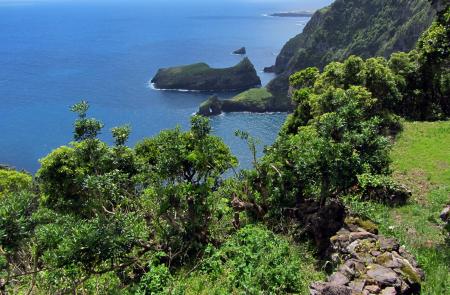
The first stage of the Flores great route runs through the northeast coast of the island, connecting the village of Santa Cruz to Ponta Delgada. The landscape is shaped by the agriculture sector, with pastures and some forest areas like Luís Paulo Camacho’s Forest reserve. You will also be able to see several valleys filled with water lines, where you will also view Além Fazenda hydroelectric station, responsible for supplying 50% of the island’s electricity. This landscape is part of Vale das Ribeiras da Badanela e Além Fazenda (geosite, that belongs to the Azores geopark and also UNESCO. The northeastern coast of the island is also a geosite and has several cliffs with waterfalls and some rock beaches such as Baía da Alagoa. In this area, you can also see several islets and Furna do Galo cave (an erosional cave only accessible by boat). The Protected area for management of habitats or species includes different kinds of vegetation such as: the Azorian Heather (Erica azorica), the faya bayberry (Morella faya), the Azorean Picconia (Picconia azorica), the Azores Juniper (Juniperus brevifolia). The cliffs are a perfect place for birds to nest like the Cory’s Shearwater (Calonectris borealis), the common tern and roseate tern (Sterna hirundo e Sterna dougallii) and the Barolo shearwater (Puffinus ilhermini baroli). Due to the various water lines and slippery rocks, it is recommended to be extra careful after rainy days and to wear appropriate footwear
Stage 2 Ponta Delgada/Lajedo CLOSED
26 km/10h00/Hard
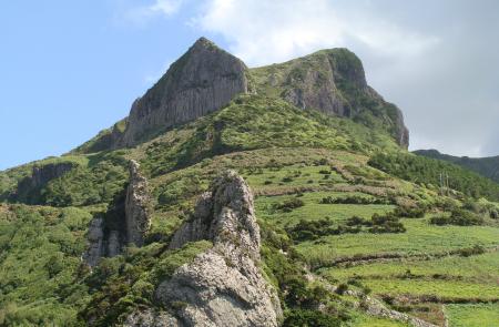
The second stage of the Flores great route runs through the western coast of the island and connects the parish of Ponta Delgada to Lajedo. Due to its uneven morphology, steep slopes and its proximity to cliffs, it´s not recommended for those who suffer from with vertigo. You will be able to see beautiful landscapes like the geosite of Fajãzinha and Fajã Grande, with 300m tall fossil cliffs located around the Fajãs of the island’s central plateau and several waterfalls that supply water to some ponds. These ponds are called “Poços” by the locals. Some of the most famous include: Poço do bacalhau and Poço da Ribeira do Ferreiro (also known as “Patas lake”. The small, picturesque villages of Fajãzinha and Fajã Grande add an extra beauty to the trail. Other highlights of this trail include the natural monument of Rocha dos Bordões and Ponta do Albernaz-Ponta Delgada geosite, where you will find the islands’ oldest lava flows dating back 2Ma. From this area you will also be able to see Maria Vaz islet, Albernaz lighthouse and the island of Corvo. From a natural heritage standpoint, the highlights include areas like the natural reserve of Maria Vaz islet, an important nesting area for the Yellow-legged Gull (Larus michaellis atlantis). The protected area of Zona Central e Falésias da Costa Oeste and the protected area for management of habitats or species of Costa Sul are places full of endemic species and are an important habitat for birds like the Cory’s Shearwater (Calonectris borealis), the Common Tern (Sterna hirundo) and the roseate tern (Sterna dougallii). Due to the greater accumulated unevenness, you should plan the route according to your fitness level, interest and availability. As this trail goes through several water lines, caution is advised due to the variable water levels, that increase considerably after heavy rain. We advise you to leave all the gates closed throughout the course
