


Levada - Faial PR03FAI


Trail Info
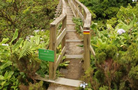
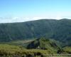
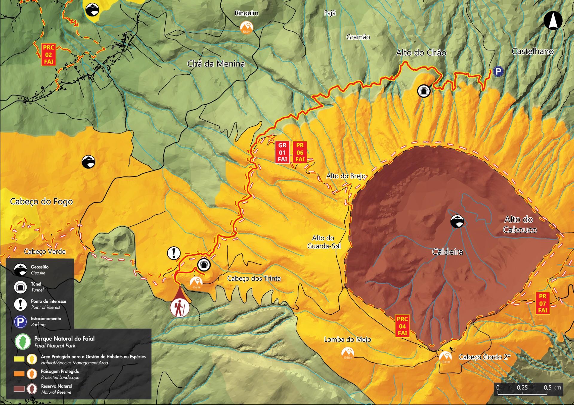
Inserted in the part of protected landscape of the Central Area, this linear route crosses sections of great volcanic interest, passing by the Geosite of Peninsula do Capelo and of great richness regarding species of fauna and flora typical from the laurel forest. Along the trail the marks change between white, red and yellow from the intersection of Grand and Small Route and the yellow and red from Small Route. The crossings are properly marked on site, with signaling arrows.
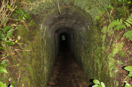
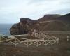
Begin the trail near Cabeço dos Trinta, village of Capelo. Choose the detour on the right end side until the tunnel accessing the interior of the Cabeço, a volcanic cone filled with endemic vegetation. Return the same way until the dirt road, follow right until the water storage tank, that you should cross by the left end side and continue until you find the levada (water channel).
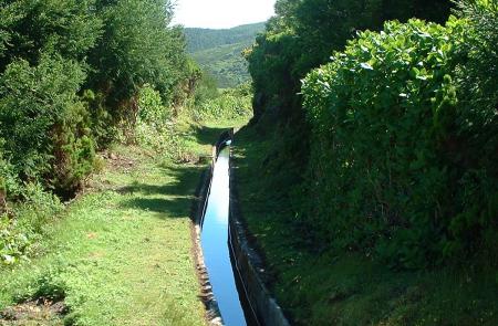
Considered as one of the greatest engineering works of the Azores, was inaugurated in 1964, after 4 years of construction and 7 years of planning. Located 680 meters high and along 10 km long (nowadays only 8 km can be done), had as main function supply water for the production of hydroelectric energy. The water is captured in several points along the track, and later, channeled to the mini hydric central, in Varadouro.
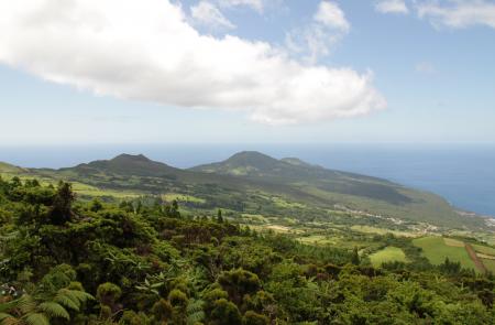
Now and then, clearings are seen along the track that will allow you to visualize the alignment of the volcanic cones of the Volcanic Complex of Capelo. Proceed along the endemic vegetation such as Azores Laurel (Laurus azorica), Buckthorn (Frangula azorica), Azorean Holly (Ilex azorica), Azorean Heather (Erica azorica), among others. It is also possible to watch some birds from the Azores like the Common Blackbird (Turdus merula azorensis), Goldcrest (Regulus regulus inermis) and the Common Chaffinch (Fringilla coelebs moreletti).
The trail continues following the levada, intervened along the 2 km with restoration works in 2013 until the place where the walk ends at Alto do Chão, village of Cedros.
Outline
Trail Information


