


Dez Vulcões - Faial PR06FAI

Trail Info
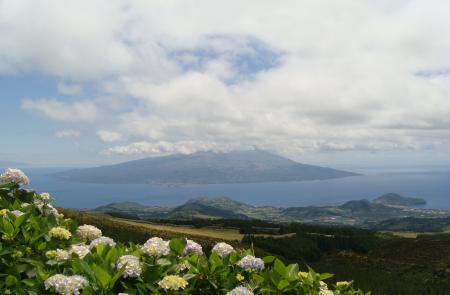
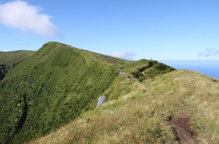
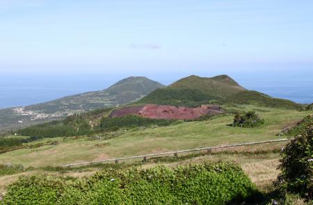
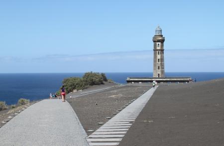
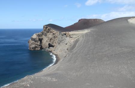
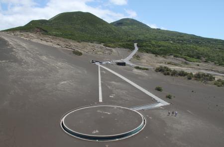
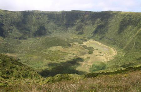
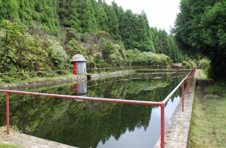
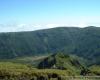
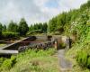
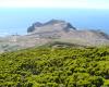
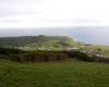
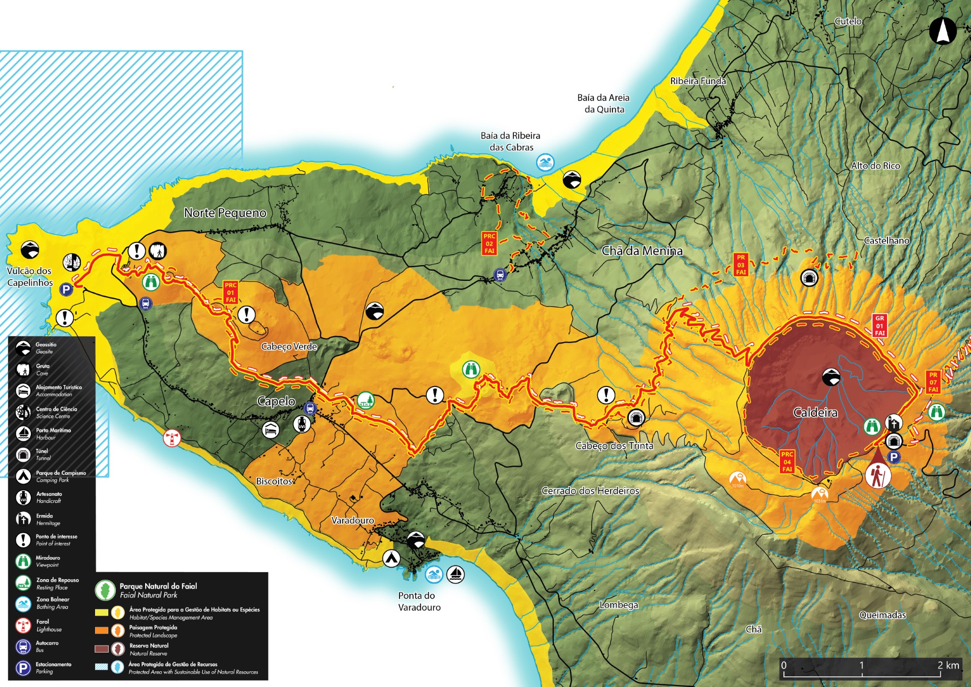
This route goes along the natural reserve of Caldeira of Faial, in a section of protected landscape of the Central Area and ends in the protected area for habitats and species management of Capelinhos, Northwest Coast and Varadouro. Along the walk it is notorious the origin of the island with passage in the Geosite of Caldeira, volcanic ridge of Península of Capelo and area of Vulcão dos Capelinhos and Costado da Nau. This trail begins at an altitude between 800 and 900 meters, being advisable to do it in days of good weather and visibility. Begin the trail at the viewpoint of Caldeira and before starting, cross the tunnel with view over the interior of the crater. The way goes around the Caldeira and before climbing to Cabeço Gordo (dishes), go right, towards the area of the volcano of Capelinhos. Go down by the West slope of the island until you arrive to a dirt road, place where it follows the trail PR 03 FAI - Levada, until Cabeço dos Trinta. Along the walk you will have the opportunity to observe several exemplars of typical flora of laurel forest, as well as some birds from the Azores. Passing by the water storage tank you can choose to make a detour through the accessing tunnel to Cabeço dos Trinta. Back to the trail, descend along the wood and forest roads until you arrive to the viewpoint of Cabeço do Fogo. Inserted in a protected area for the habitats and species management, besides the view, it has spots of native vegetation and it is an important area of nesting for the Common Woodpigeon (Columba palumbus azorica). The trail proceeds through out woods, areas of cultivated fields and pastures, passing by Furna Ruim, Algar do Caldeirão and Cabeço do Canto until reaching the road, that you should cross carefully, accessing Capelinhos. Enjoy the scenery in front of you where the volcanic ashes predominate, resulting from the eruption of 1957/1958 and adding 2,4 square km to the island. Continue until the parking place of the Interpretative Centre of the Vulcão dos Capelinhos, place where the trail ends.
Outline
Trail Information


