


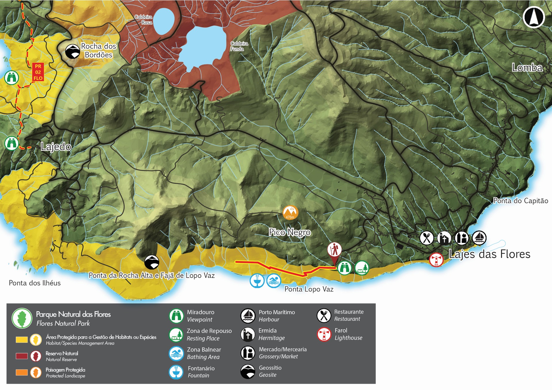
Fajã de Lopo Vaz - Flores PRC04FLO


Trail Info
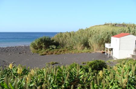
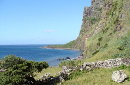
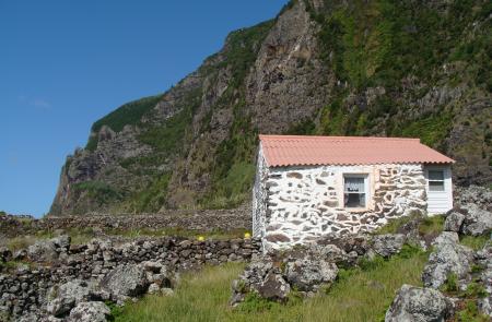
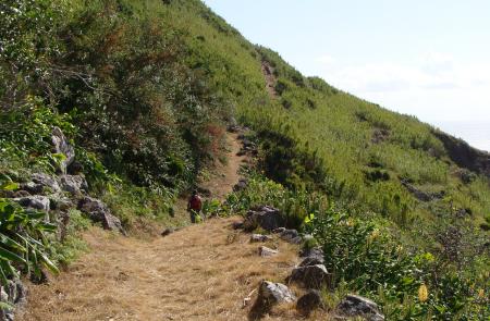
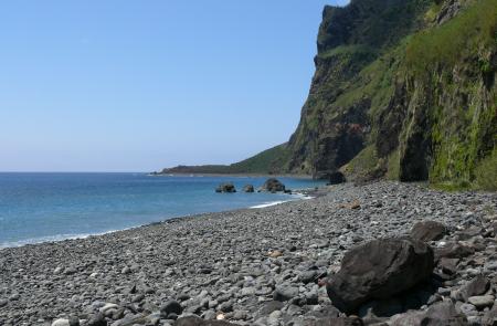
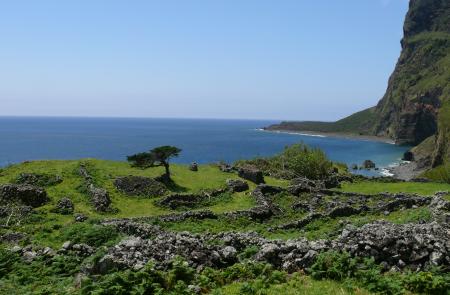
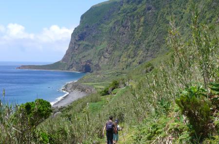
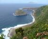
This trail is located in the southern coast of the island of Flores and starts at the picnic area of Fajã de Lopo Vaz and it is the only access to this location. This area was one of the first areas of the island where people settled. Its designation comes from the name of one of the settlers "Lopo Vaz", responsible for the construction of the stone staircase, which is part of this trail. Both the Fajã de Lopo Vaz area and the adjacent area of Ponta da Rocha Alta are geosites and belong to the Azores Geopark. These detritic platfforms result from landslides from the high cliffs nearby.
Due to its particular setting, facing south, and with a lot of solar exposure and low altitude, Fajã de Lopo Vaz has a microclimate with tropical features. This weather allows for the cultivation of certain fruits like figs (Ficus sp.), araçás (Psidium littorale), currants (Ribes rubrum) and bananas (Musa sp.). The water used in their cultivation comes from the only source of water in the area, a high cliff more than 350m tall.
This area is part of the Protected area for management of habitats or species of Costa Sul e Sudoeste and also the Special Protection Area (SPA) within the natura 2000 network. It is also located in an Important Bird and Biodiversity Area (IBA), and species like the Cory's Shearwater (Calonectris borealis), the Common Tern (Sterna hirundo) and the roseate tern (Sterna dougallii) are known to nest here. This trail runs through an area with coastal cliffs.
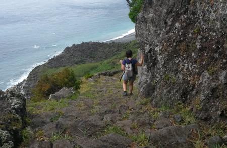
Caution is advised, specially due to the risk of falling rocks. Furthermore, it is a linear trail, meaning that the exploration of the Fajã is up to each person, but the return is always made through the same path.
Outline
Trail Information


