Fajã da Caldeira do Santo Cristo

Flores

Great Route Flores (Stage 2 closed)

Trail Info

The Great Route of Flores travels along the coastal landscape of the island, connecting the main village Santa Cruz to the civil parish of Lajedo, located on the southwest coast, through a linear route with high difficulty level. Some parts of the trail have steep descents, such as the one in the Rocha do Risco, therefore this section is forbidden for people with vertigo.  

Flores

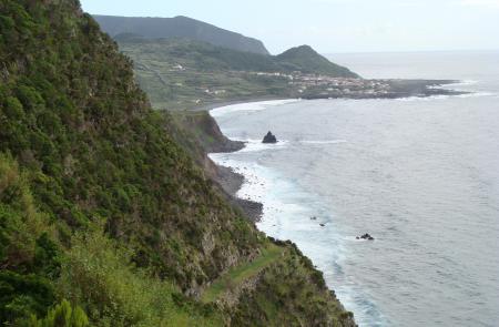
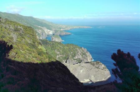
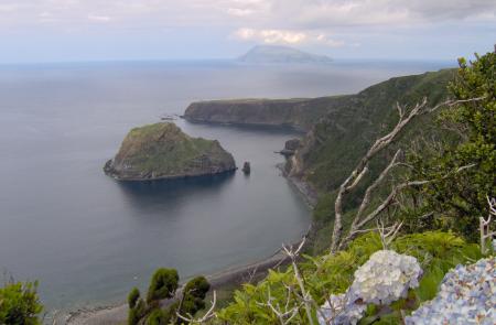
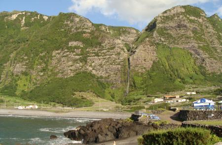
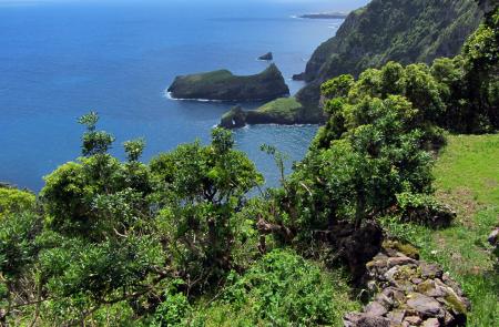
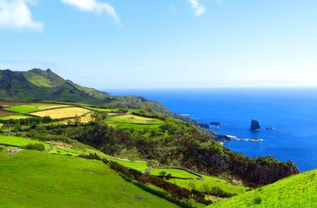
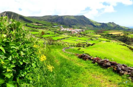
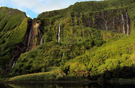
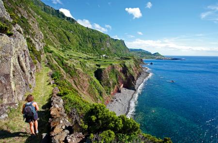
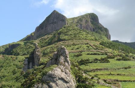
Location and Climate

The island Flores (occidental group), accounts for the most western landmark of Europe.

With an area of 143.11 km2, a length of 17 km and a width of 12.5 km.

Position: 31º59' W and 39º25' N.

The climate is that of a mild sea climate as on the other islands, influenced by the Gulf stream, with an average temperature of 17º C (63º F).

English

Fajã de Lopo Vaz

Trail Information
Category - Circular
Difficulty - Medium
Extension - 3.4 km
Time average - 2h
Trail Info

This round trip linear route begins near the viewpoint/picnic area of Fajã de Lopo Vaz, probably one of the first places to be settled and the name Lopo Vaz comes from one of the first settlers of the island.

Classified as Geosite integrated in Ponta da Rocha Alta and Fajã de Lopo Vaz, these detritic plataforms occur by collapsing cliffs, resulting in areas with microclimates and fertile soils.

Miradouro das Lagoas - Poço do Bacalhau

Trail Information
Category - Linear
Difficulty - Hard
Extension - 7.3 km
Time average - 3h00
Trail Info

This linear route goes from the interior of the island until Fajã Grande along a length of 7,3 km. Along the trail and whenever necessary to cross a gate, always leave it closed.

Begin the walk at the viewpoint between the lakes Funda and Comprida, near the Regional Road 2-2. Following the markings, go right around the lake Comprida among the endemic flora like Buckthorn (Frangula azorica), Azores Juniper (Juniperus brevifolia) and the cosmopolitan Peat Moss (Sphagnum spp.)

Lajedo - Fajã Grande

Trail Information
Category - Linear
Difficulty - Medium
Extension - 13.1 km
Time average - 3h30m
Trail Info

This linear route of around 13 km length connects the village of Lajedo to Fajã Grande. There are some sections where the stone ground may be slippery, being advisable caution and the wear of proper footwear.

Begin the stage at the village center and follow the markings along the road until the viewpoint. Continue on a cobblestone road towards North, passing by a viewpoint on your left with a view over the islets of Mosteiro village and Rocha dos Bordões on your right, a geological formation known by its huge vertical basaltic columns.

Ponta Delgada - Fajã Grande

Trail Information
Category - Linear
Difficulty - Hard
Extension - 12.9 km
Time average - 4h30
Trail Info

This linear route connects the villages of Ponta Delgada to Fajã Grande. Along the trail, whenever necessary to cross a gate, always leave it closed. There are some sections where the stone ground may be slippery, being advisable caution and the wear of proper footwear. After some days of heavy rain, cross the streams with extreme caution due to the increase of the water flow.

Flores

NATURE

The pink island

GEOGRAPHY

The island of Flores is 16.6 km long and has 12.2 km at its maximum width, which translates into a surface of 141.4 sq. km. Together with the island of Corvo, which is 17.9 km away, it forms the Western Group of the Azores Archipelago. The European Continent has its westernmost point on this piece of land where 3 793 people live (2011 data). At an altitude of 911 metres, the Morro Alto is the island’s highest point and is located at 39°27’48’’ latitude north and 31°13’13’’ west.

Subscribe to RSS - Flores