Fajã da Caldeira do Santo Cristo

São Jorge

Pico do Pedro - Pico da Esperança - Fajã do Ouvidor

Trail Information
Category - Linear
Difficulty - Medium
Extension - 16.9 km
Time average - 4h 00min
Trail Info

This linear route, along the mountain range, covers the central area of the island between Pico do Pedro, passing by Pico da Esperança, highest point of the island with 1053 meters and ends in Fajã do Ouvidor in the North coast. The path develops partially through the central volcanic range, between 800 and 1000 meters high, being advisable to do so in days of good weather and visibility.

São João - Lourais - Fajã dos Vimes

Trail Information
Category - Linear
Difficulty - Hard
Extension - 9.6 km
Time average - 3h 30min
Trail Info

Este percurso linear atravessa a costa sul da ilha, entre Fajã de São João, passando por Lourais, Fajã dos Bodes e terminando em Fajã dos Vimes. Após dias de chuva intensa, evite o trilho entre Lourais e Fajã dos Vimes devido à dificuldade em atravessar os ribeiros. O trilho começa perto do café local, de onde se pode admirar as ruas estreitas de calçada tradicional e as pequenas casas. Passe pela igreja e siga em direção noroeste até Lourais. Saindo de Fajã, atravesse pequenos campos agrícolas com culturas tradicionais como a vinha, o milho e o inhame.

Serra do Topo - Fajã dos Vimes

Trail Information
Category - Linear
Difficulty - Hard
Extension - 5.5 km
Time average - 2h 30min
Trail Info

This linear route begins near the Eolic Park of Serra do Topo and ends at Fajã dos Vimes. Along the trail and whenever necessary to cross a gate, always leave it closed.
Begin the trail along the regional road, heading South until you find a dirt road on your left, flanked by Hydrangeas (Hydrangea macrophylla).

Serra do Topo - Caldeira de Santo Cristo - Fajã dos Cubres

Trail Information
Category - Linear
Difficulty - Medium
Extension - 9.3 km
Time average - 2h 30min
Trail Info

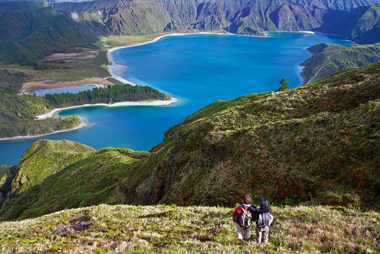
This route about 10 km length begins in the Eolic Park of Serra do Topo, passing by Caldeira de Santo Cristo and finishing at Fajã dos Cubres.
Start your walk in the regional road, next to the Eolic Park of Serra do Topo, through a land road, where you can find several species of endemic flora such as Azorean Heather (Erica azorica), Azores Juniper (Juniperus brevifolia), and the Azorean Holly (Ilex azorica). It is also possible to see and hear some birds like the Whimbrel (Numenius phaeopus), Goldcrest (Regulus regulus azoricus), and the Buzzard (Buteo buteo rothschildi).

São Jorge

NATURE

The Brown Island

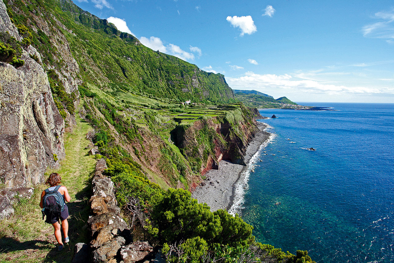
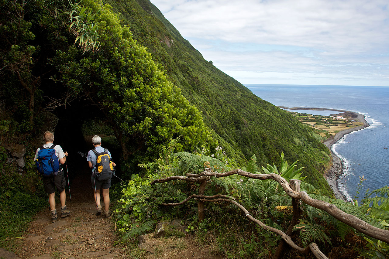
The elongated shape of São Jorge Island and the rhythmic sequence of cones that characterise its central part appear on the horizon as the wavy back of a prehistoric animal fast asleep. The plateau of the inner part of the island, where the volcanic cones that generated the island were born, gives way to high, steep cliffs that either come to an end in the deep blue sea or in small flat areas at sea level, the famous fajãs of São Jorge.

GEOGRAPHY

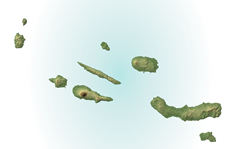
With a length of 54 km and a maximum width of 6.9 km, São Jorge Island features a long volcanic ridge stretching from northwest to southeast. The area of the island reaches 243.9 sq. km, and it is the home to 9.171 inhabitants (2011 data). The island of São Jorge is part of the Central Group and is one of the corners of the so-called "triangle islands" together with Faial and Pico, the latter of which is 18.5 km away. At an altitude of 1,053 m, Pico da Esperança is the highest point of the island and is located at 38°39'02'' north latitude and 28°04'27'' west longitude.

Pages

Subscribe to RSS - São Jorge